© Pulsa Pictures, ORT SUD
Minett Germany France

Trail "Um Réimerwee"

Hunting Season 2024/25 — Check for hunts before hiking

Autumn is here, and that means hunting season has begun! From mid-October to January/February, hunters are active across the country. Stay safe by checking hunt dates in your area on our Map. 

Click on Map in the Header > Services > More > Hunting.

Starting point
3 Rue Aloyse Kayser, 3852 Schifflange
Destination
3 Rue Aloyse Kayser, 3852 Schifflange
Distance
9,29 km
Duration
2:40 h
Difficulty
medium
  • Condition
Highest point
410 Hm
Lowest point
288 Hm
Aggregated Ascent
163 Hm
Aggregated Descent
156 Hm
Circular routes Visit Luxembourg

Description

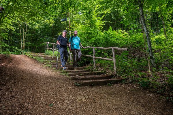
Pass through time, from the roman empire to the industrial heights of Luxembourg, on the Trail "Um Réimerwee"

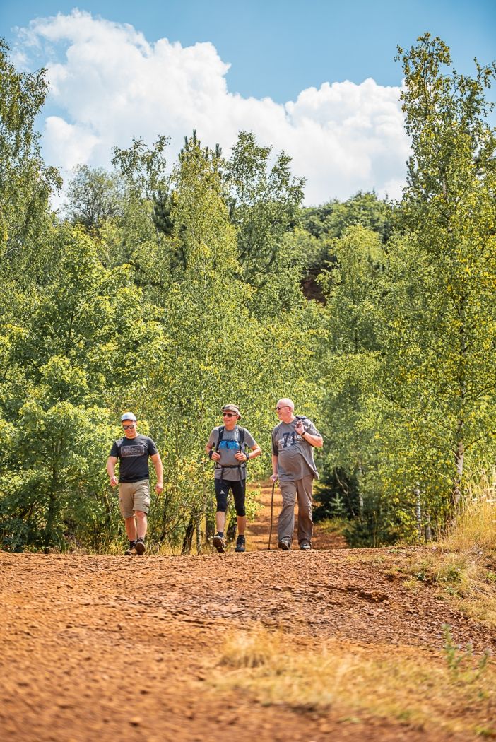
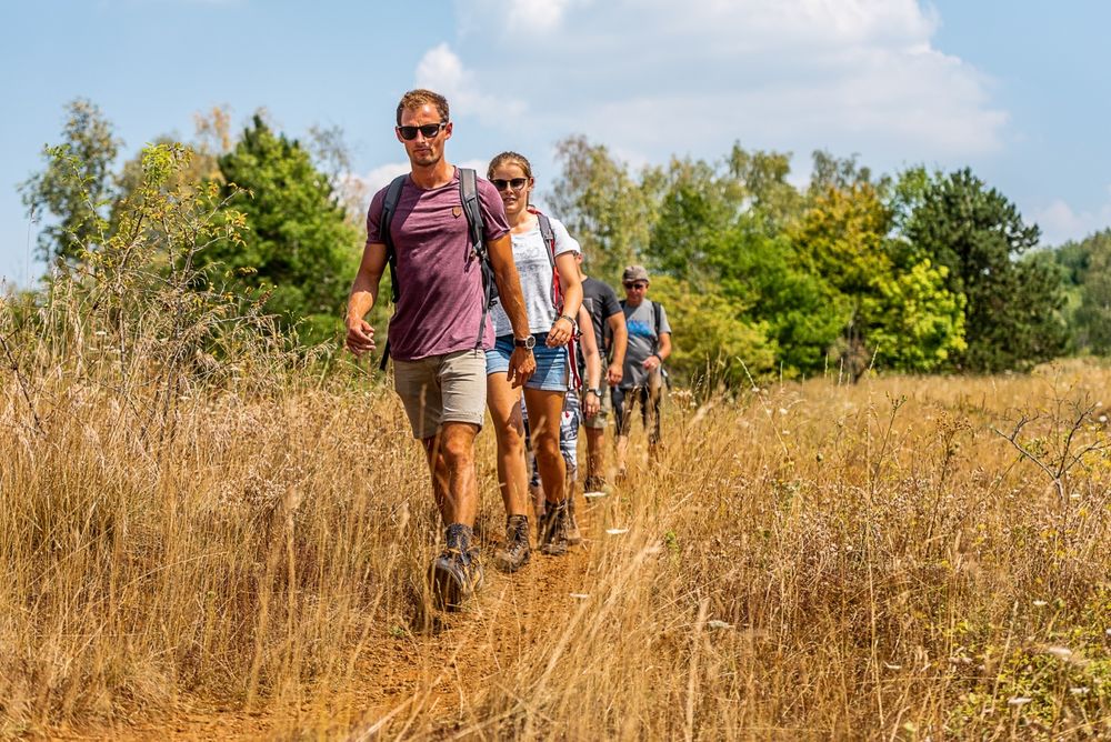
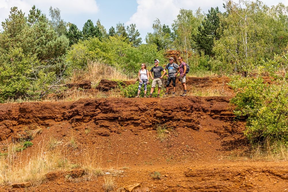
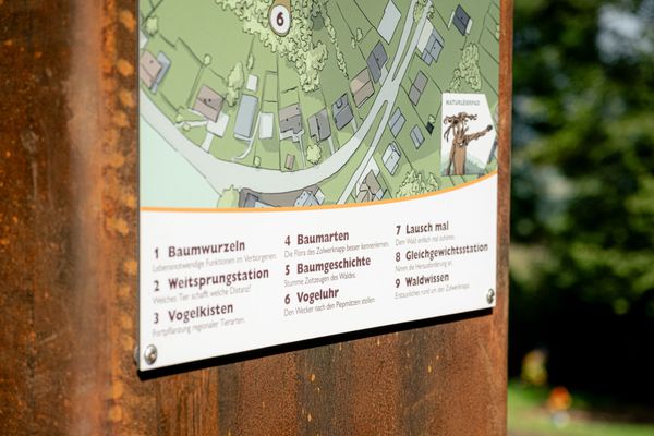
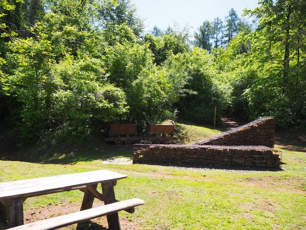
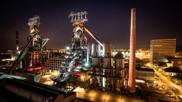
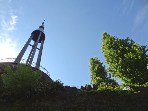
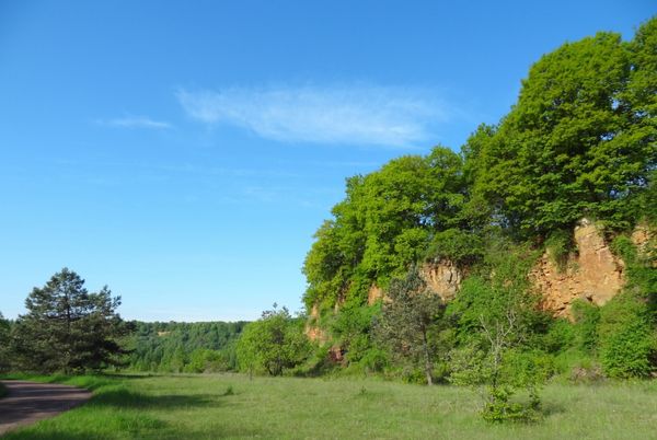
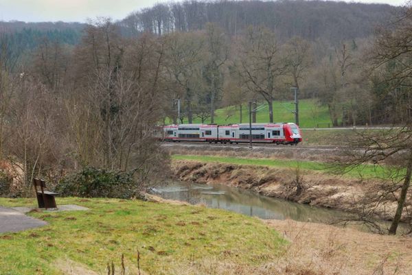
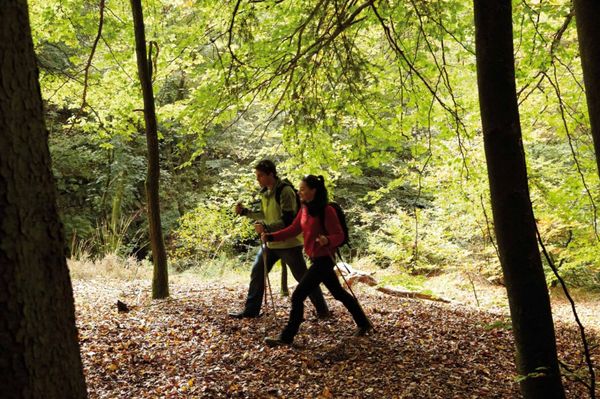
Discover the history of Schifflange in the footsteps of the ancient Romans; aside from the location of a roman legion encampment, the trail leads past various churches and landscapes transformed by ore mining. The “Réimerwee” guides you through a unique environment, shaped by its industrial past, which nature is gradually reclaiming. Along the way, illustrated information boards provide numerous explanations about history and the environment.

© Administration communale de Schifflange - Translation ORT Sud

Please make sure to enable your Cookies in case you don't see this content.

Suggestions nearby

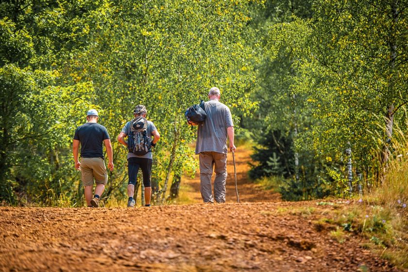
Trail "Um Réimerwee"

  • © Simpleviu
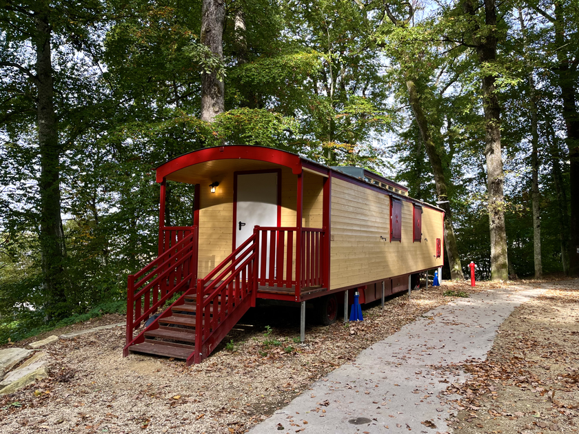
    Kabaisercher: Zirkuswon Schifflange
    Pets allowedGarden / Park
  • © Pulsa Pictures_ORT SUD
    Nature reserve "Brucherbierg - Lallengerbierg"
    A unique walk among butterflies and orchids
    Find out more
  • Swimming Pool Schifflange
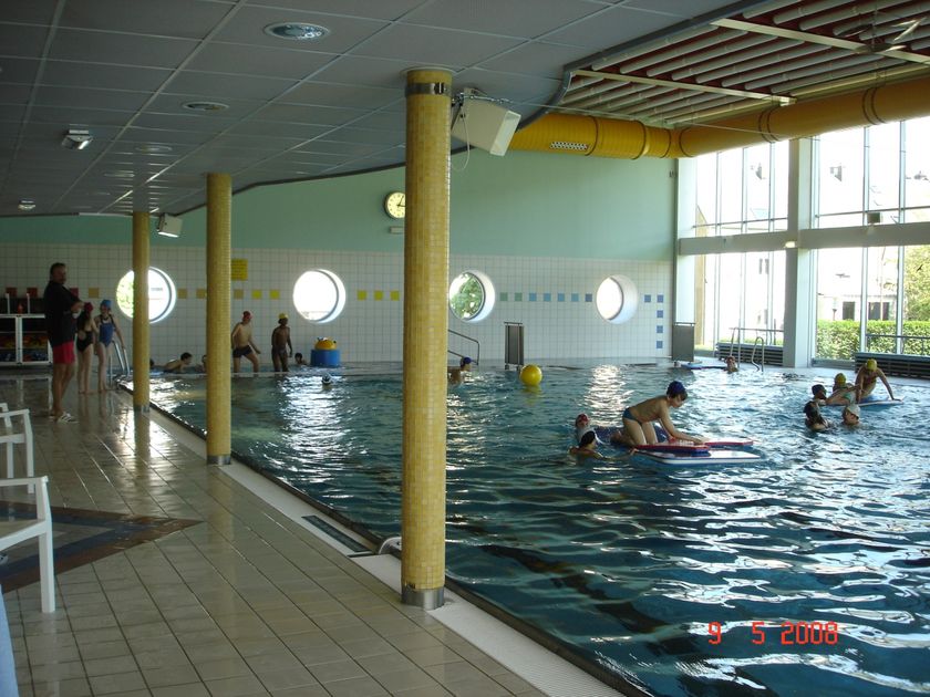
    Swimming Pool Schifflange
    Find out more
  • © Aparthotel City Lodge Schifflange
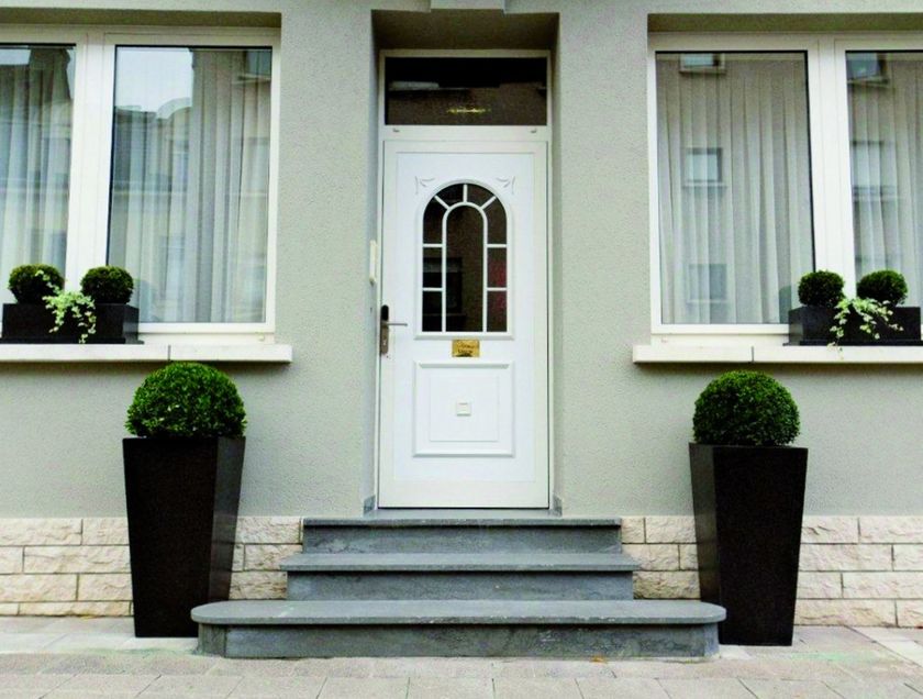
    Aparthotel City Lodge
    WifiParkingRestaurant

Similar hiking tours

© Gemeng Suessem
Naturléierpad Zolwerknapp
Distance: 1,01 km
Duration: 0:20 h
Difficulty: medium
Find out more
© Pulsa Pictures, ORT SUD
Thematic paths
Didactic trail "Natura 2000" - Ellergronn
Distance: 11,93 km
Duration: 3:20 h
Difficulty: medium
Find out more
© Visit Luxembourg
Circular routes
Circular trail "Sentier de la Crosnière"
Distance: 3,74 km
Duration: 1:05 h
Difficulty: medium
Find out more
© © Claude Piscitelli / ONT, Visit Luxembourg
Thematic paths
Geological Trail - "Giele Botter"
Distance: 2,43 km
Duration: 0:45 h
Difficulty: medium
Find out more
© ORT Sud
Circular routes
Auto-pédestre trail Abweiler
Distance: 8,85 km
Duration: 2:20 h
Difficulty: medium
Find out more
© ORT Sud
Circular routes
Auto-pédestre trail Belvaux
Distance: 9,44 km
Duration: 2:50 h
Difficulty: medium
Find out more
© ORT Sud
Circular routes
Auto-pédestre trail Rodange
Distance: 7,31 km
Duration: 2:10 h
Difficulty: medium
Find out more
© ORT Sud
Circular routes
Auto-pédestre trail Rumelange - Walert
Distance: 8,89 km
Duration: 2:25 h
Difficulty: medium
Find out more
© Pulsa Pictures, ORT Sud
Circular routes
Auto-pédestre trail Rumelange - Gare
Distance: 6,84 km
Duration: 2:05 h
Difficulty: medium
Find out more