Circular routes Visit Luxembourg
Description
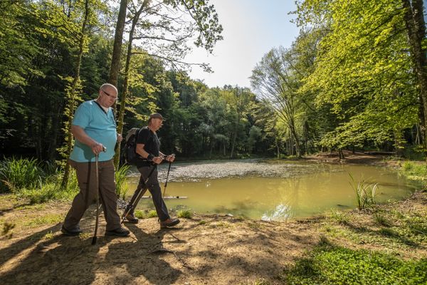
Hike in the footsteps of the mining heritage on the Auto-pédestre trail Rumelange-Walert.
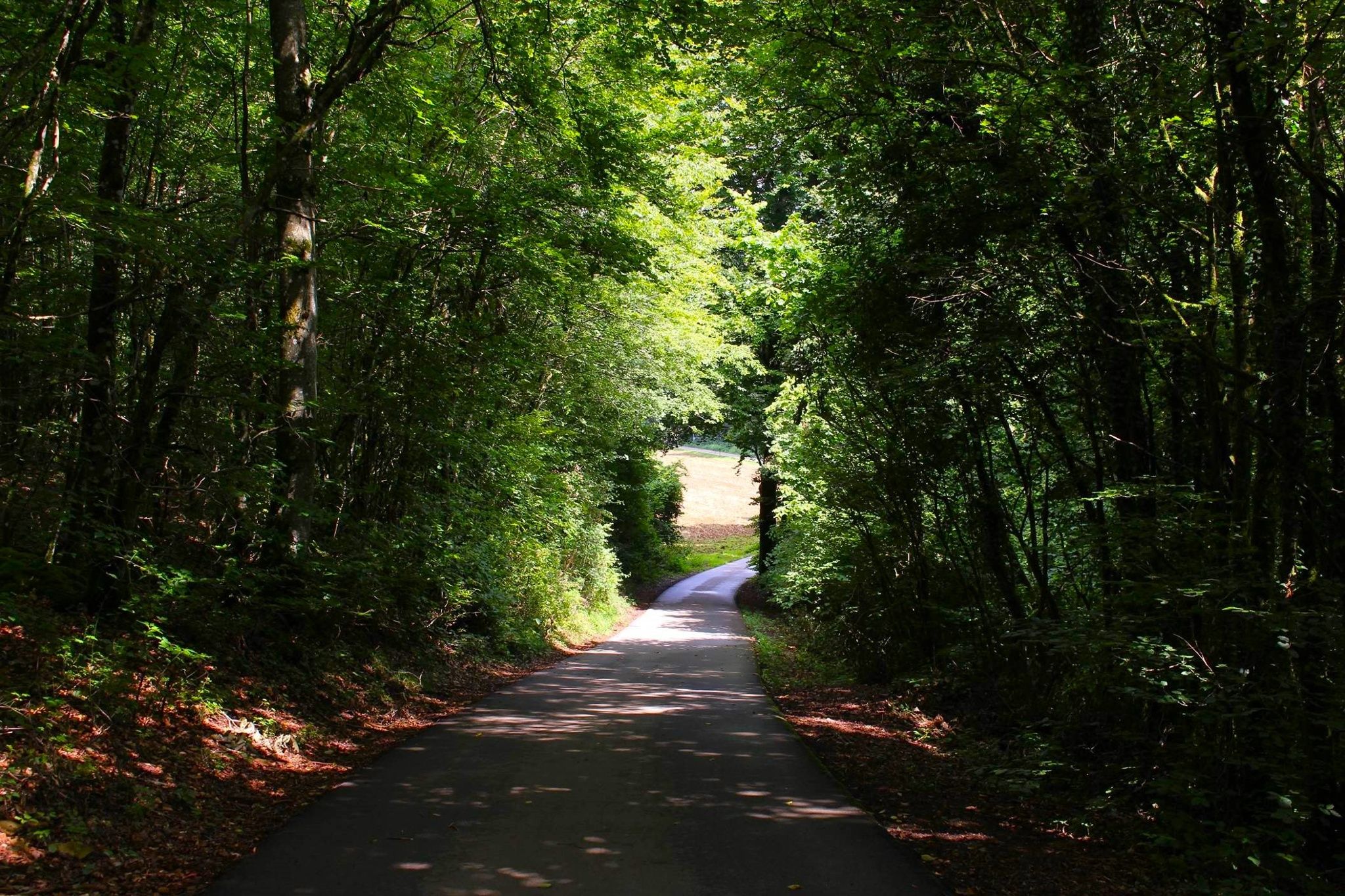
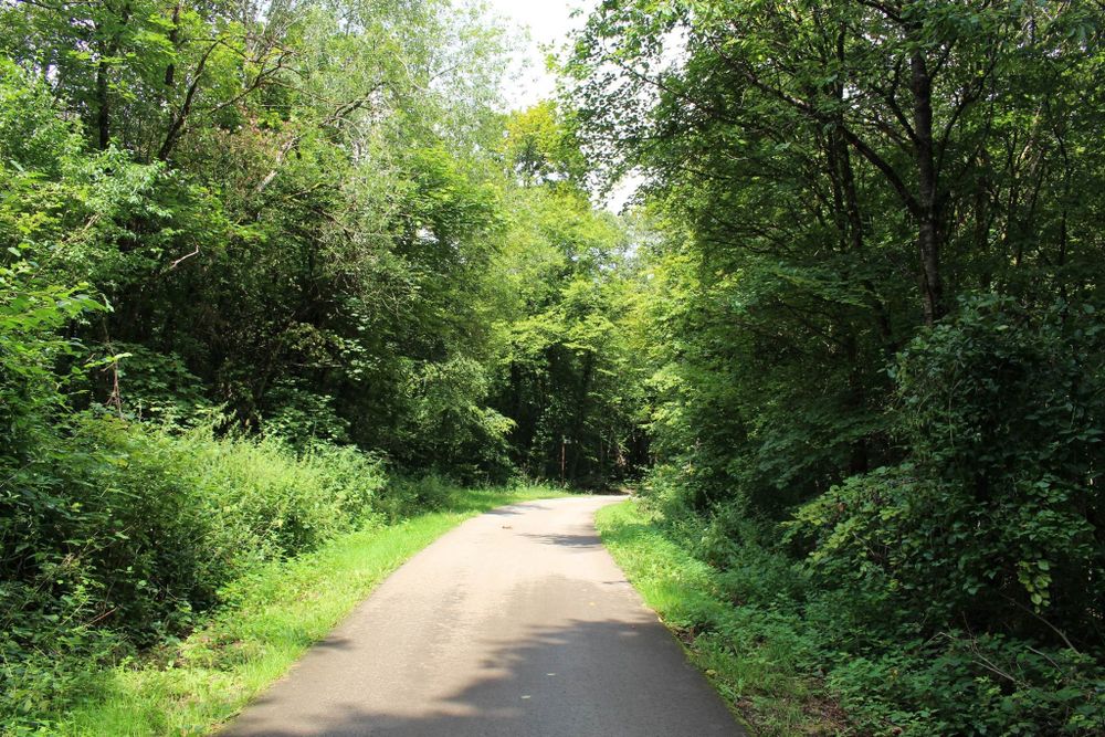
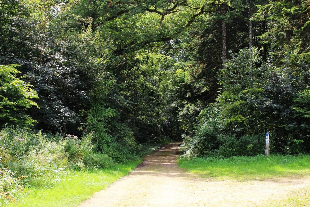
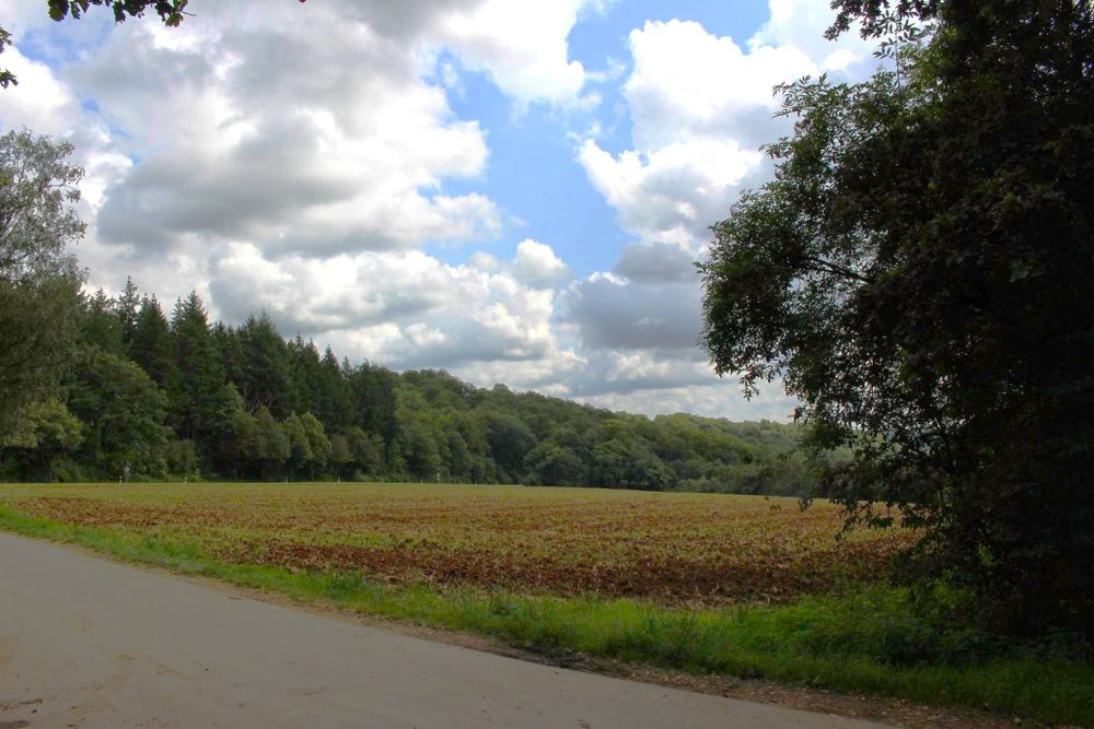
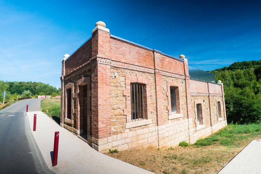
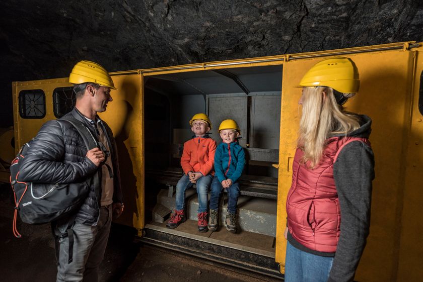
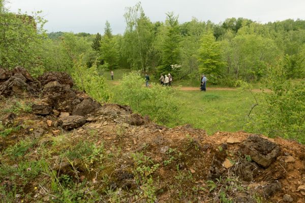
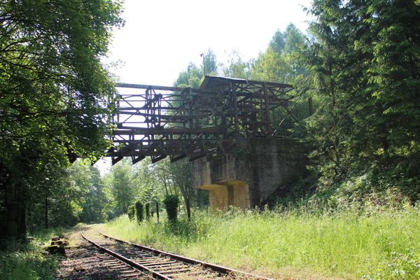
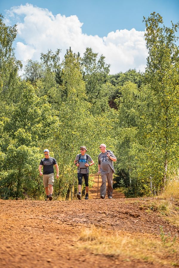
This hiking trail is a mixture of nature and industrial heritage. You walk past the "Musée des Mines Rumelange" mining museum and the old limekilns where quicklime was once produced. From here, you leave the small town of Rumelange in the direction of the "op der Heed" plateau. Before you reach the forest, you will pass a conveyor that transports limestone from the open-cast mine 300m away to Rumelange.
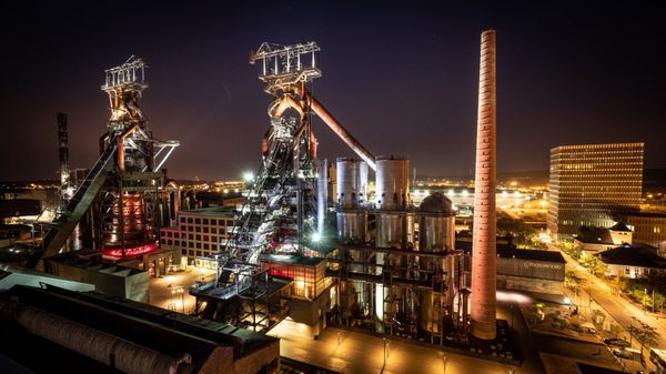
Along the way, you will also see other remnants of iron ore mining, such as the remains of the cable car to transport the ore and several mine entrances in the "Welteschgrond". At the end of the hike, you will come to the destination of the conveyor you encountered earlier: the Cimalux cement factory.
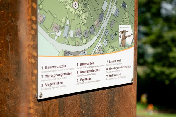
Signposting
Directions
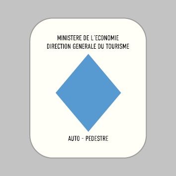
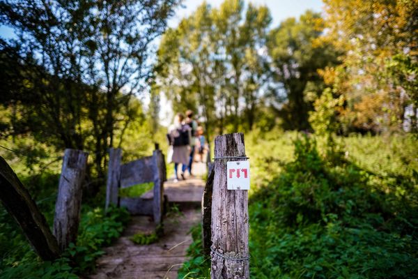
Please follow the signs with the blue diamond and the on a white background. The hike is marked in both directions.
Equipment
Please remember to bring enough food and drinking water for your hike.
Journey
Public transport: Bus: Rumelange, Laangegronn
Parking: Public parking available.
Parking: Public parking available.


 This website uses technology and content from the Outdooractive Platform.