© ORT Sud
Minett Germany France

Auto-pédestre trail Rodange

Starting point
Public parking Stadion Jos Philippart: Rue Jos Moscardo L-4824 Rodange
Destination
Public parking Stadion Jos Philippart: Rue Jos Moscardo L-4824 Rodange
Distance
7,31 km
Duration
2:10 h
Difficulty
medium
  • Condition
Highest point
388 Hm
Lowest point
277 Hm
Aggregated Ascent
199 Hm
Aggregated Descent
199 Hm
Circular routes Visit Luxembourg

Description

Kids & Family Refreshment stops available
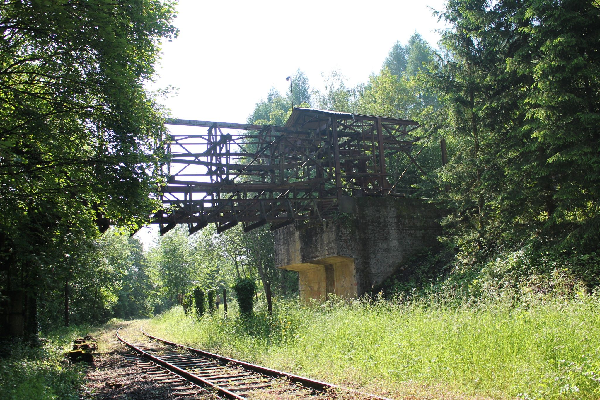
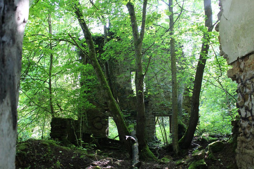
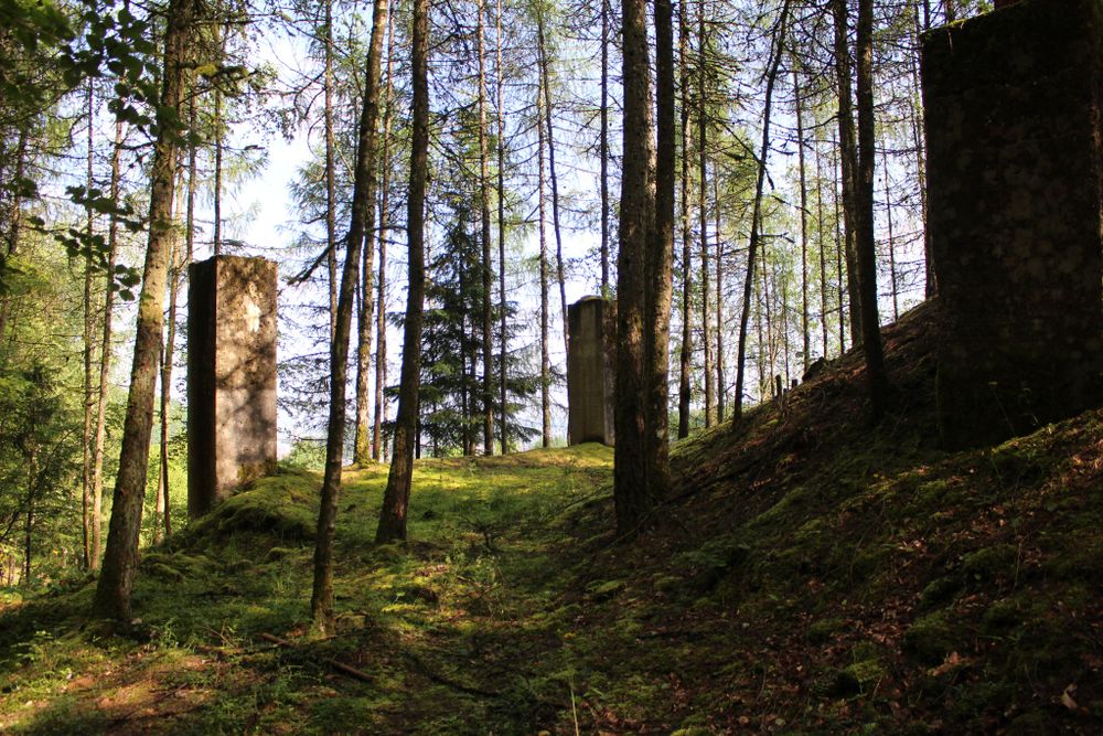
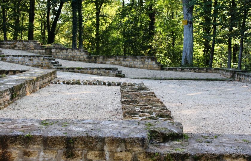
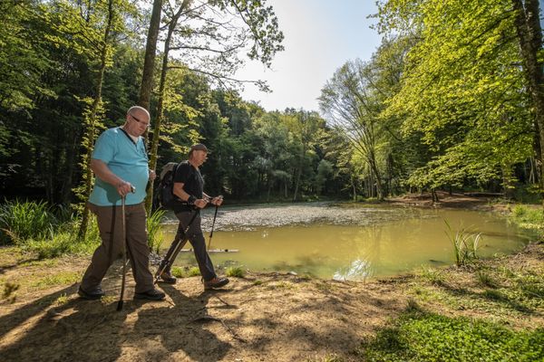
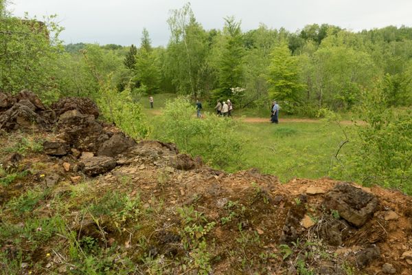
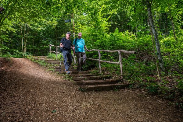
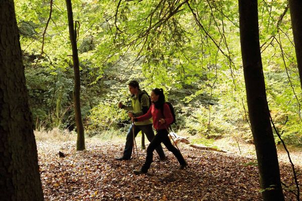
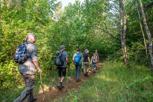
Experience the forest and the former industry by foot on the Auto-Pédestre Rodange.

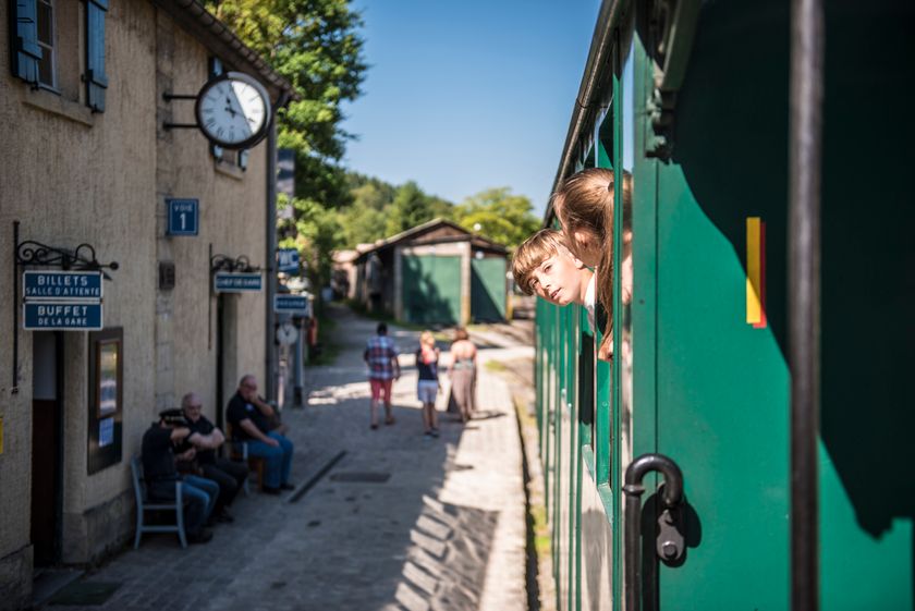
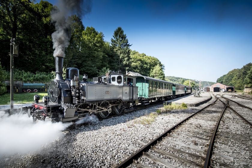
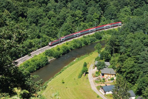
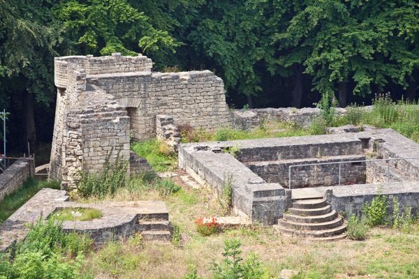
The Auto-Pédestre Rodange runs mostly through greenery and is therefore ideal as a summer walk. During the summer months, you are sure to hear the hissing of a steam locomotive... a steam locomotive in the forest? Yes! The Train 1900 runs from Pétange via Rodange to Fond-de-Gras. You will also visit this former industrial site on your hike. Today it is an open-air museum with lots to discover.
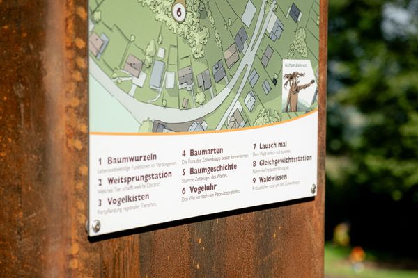
Please make sure to enable your Cookies in case you don't see this content.

Suggestions nearby

Auto-pédestre trail Rodange

  • © Pulsa Pictures
    Minett Park Fond-de-Gras
    The Minett Park Fond-de-Gras is an open-air museum that includes the Fond-de-Gras, the village of Lasauvage, the former open-cast mine of Giele Botter and the Celtic oppidum of Titelberg.
    Find out more
  • © Pulsa Pictures
    Historical steam train "Train 1900"
    Fancy a journey back in time ?
    Find out more
  • © Visit Luxembourg
    Titelberg - archaeological site
    An important site from Celtic times
    Find out more

Similar hiking tours

© Pulsa Pictures, ORT SUD
Thematic paths
Didactic trail "Natura 2000" - Ellergronn
Distance: 11,92 km
Duration: 3:20 h
Difficulty: medium
Find out more
© Gemeng Suessem
Naturléierpad Zolwerknapp
Distance: 1,01 km
Duration: 0:20 h
Difficulty: medium
Find out more
© © Claude Piscitelli / ONT, Visit Luxembourg
Thematic paths
Geological Trail - "Giele Botter"
Distance: 2,43 km
Duration: 0:45 h
Difficulty: medium
Find out more
© Pulsa Pictures, Pulsa Pictures ORT Sud
Circular routes
Auto-pédestre trail Esch-sur-Alzette
Distance: 7,68 km
Duration: 2:10 h
Difficulty: medium
Find out more
© CFL, Visit Luxembourg
Distance trails
34 Station to station Pétange - Kleinbettingen
Distance: 16,23 km
Duration: 4:10 h
Difficulty: medium
Find out more
© Visit Luxembourg
Distance trails
National hiking trail "South I"
Distance: 32,72 km
Duration: 9:25 h
Difficulty: medium
Find out more
© Pulsa Pictures, ORT SUD
Circular routes
Circular route "Circuit transfrontalier de la Minette"
Distance: 9,54 km
Duration: 2:35 h
Difficulty: medium
Find out more
© ORT Sud
Distance trails
22 Station to Station Dudelange - Burange - Rumelange
Distance: 10,22 km
Duration: 3:05 h
Difficulty: medium
Find out more
© ORT Sud
Circular routes
Auto-pédestre trail Mondercange
Distance: 7,46 km
Duration: 1:50 h
Difficulty: medium
Find out more