© ORT Sud
Minett Germany France

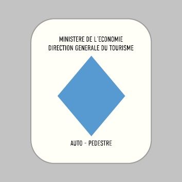
Auto-pédestre trail Lamadelaine

Hunting Season 2024/25 — Check for hunts before hiking

Autumn is here, and that means hunting season has begun! From mid-October to January/February, hunters are active across the country. Stay safe by checking hunt dates in your area on our Map. 

Click on Map in the Header > Services > More > Hunting.

Starting point
Parking, rue du Vieux Moulin, 4879 Pétange
Destination
Parking, rue du Vieux Moulin, 4879 Pétange
Distance
8,36 km
Duration
2:25 h
Difficulty
medium
  • Condition
Highest point
407 Hm
Lowest point
285 Hm
Aggregated Ascent
129 Hm
Aggregated Descent
129 Hm
Circular routes Visit Luxembourg

Description

Scenic
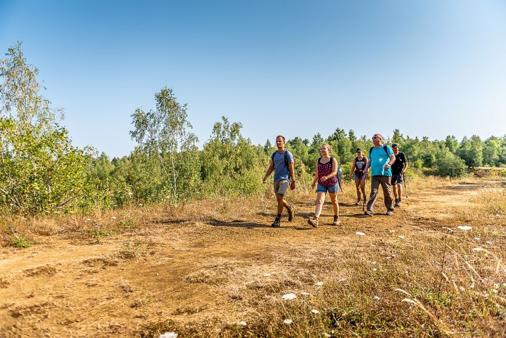
Walk from the Celtic era to the era of the steel and iron industry.

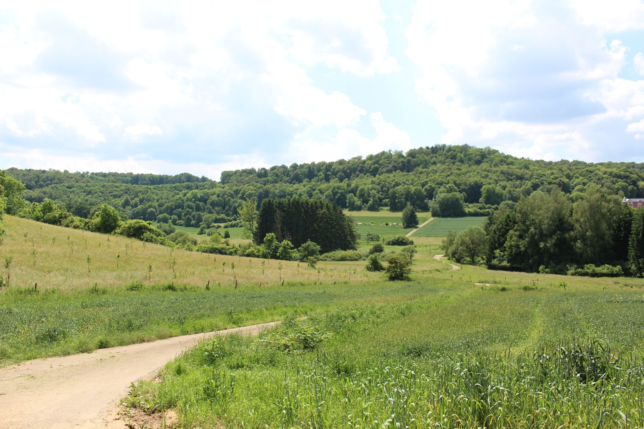
The hike begins not far from the old mill in Lamadelaine, which unfortunately cannot be visited spontaneously, but you can request a guided tour from the municipality of Pétange. At the beginning of the hike, you have the choice of starting towards the fishponds or towards the Titelberg ('Tëtelbierg').

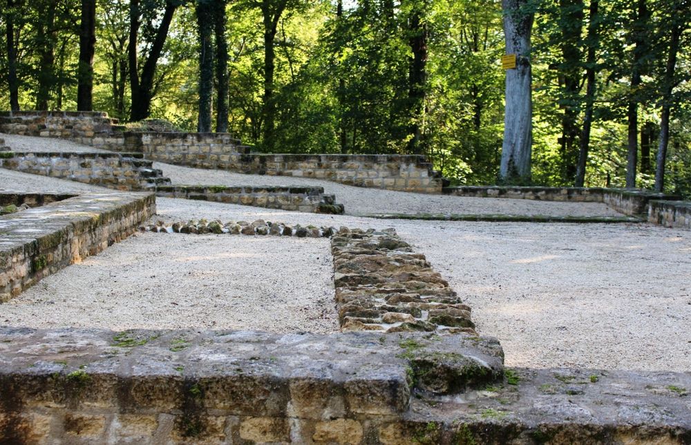
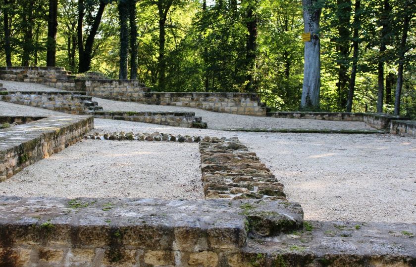
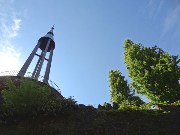
On the plateau of the Titelberg you will pass the ruins of an old Celtic village. Take the time to enter the site behind the wooden fence and to read the information boards.

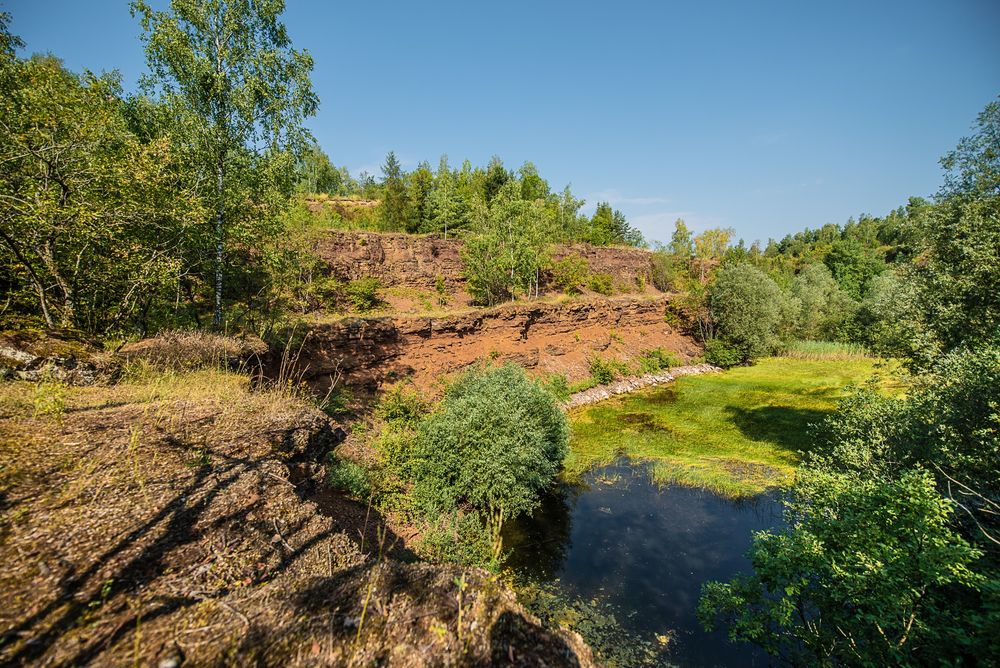
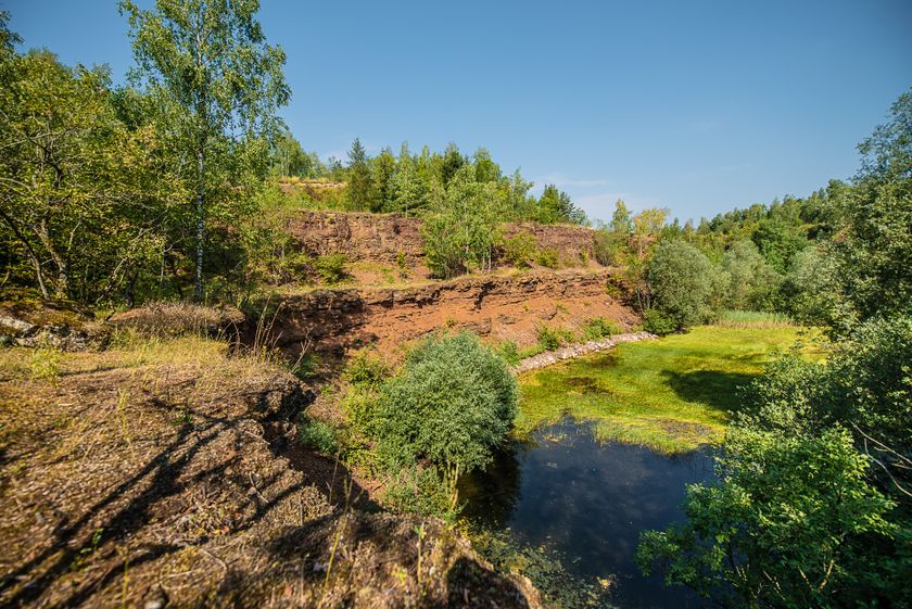
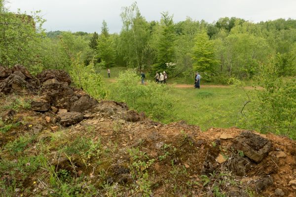
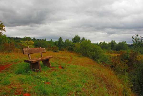
From the Celts, you walk on to the Prënzebierg - Giele Botter nature reserve. Iron ore was mined in this former open-cast mining until 1978, after which nature reclaimed its rights. Today, you can still see the mining terraces and red earth here. This nutrient-poor soil is home to rare plant species such as wild orchids, which can be seen especially in May and June.

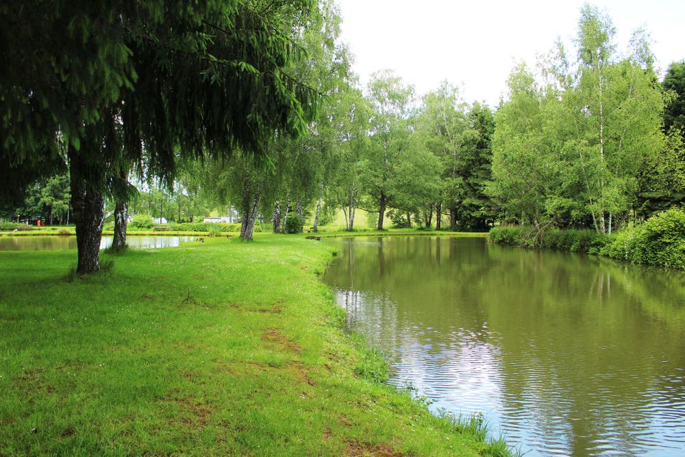
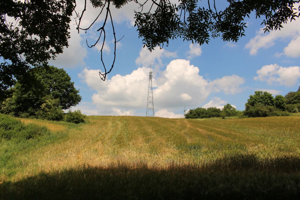
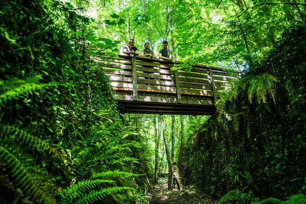
Once you have left the open-cast mining, walk back through the forest towards Lamadelaine. The good news: it's mainly downhill! At the end of the hike, you will pass the fishponds, where you can sit down and enjoy a snack before returning to your starting point.

Suggestions nearby

Auto-pédestre trail Lamadelaine

  • © Pulsa Pictures
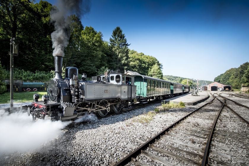
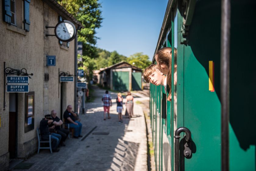
    Historical steam train "Train 1900"
    Fancy a journey back in time ?
    Find out more
  • © Visit Luxembourg
    Titelberg - archaeological site
    An important site from Celtic times
    Find out more
  • © Pulsa Pictures & ORT Sud
    Nature reserve "Prënzebierg - Giele Botter"
    Nature has the final word
    Find out more
  • © Pulsa Pictures
    Minett Park Fond-de-Gras
    The Minett Park Fond-de-Gras is an open-air museum that includes the Fond-de-Gras, the village of Lasauvage, the former open-cast mine of Giele Botter and the Celtic oppidum of Titelberg.
    Find out more

Similar hiking tours

© Gemeng Suessem
Naturléierpad Zolwerknapp
Distance: 1,01 km
Duration: 0:20 h
Difficulty: medium
Find out more
© Pulsa Pictures, ORT SUD
Thematic paths
Didactic trail "Natura 2000" - Ellergronn
Distance: 11,93 km
Duration: 3:20 h
Difficulty: medium
Find out more
© Visit Luxembourg
Circular routes
Circular trail "Sentier de la Crosnière"
Distance: 3,74 km
Duration: 1:05 h
Difficulty: medium
Find out more
© © Claude Piscitelli / ONT, Visit Luxembourg
Thematic paths
Geological Trail - "Giele Botter"
Distance: 2,43 km
Duration: 0:45 h
Difficulty: medium
Find out more
© ORT Sud
Circular routes
Auto-pédestre trail Abweiler
Distance: 8,85 km
Duration: 2:20 h
Difficulty: medium
Find out more
© ORT Sud
Circular routes
Auto-pédestre trail Belvaux
Distance: 9,44 km
Duration: 2:50 h
Difficulty: medium
Find out more
© ORT Sud
Circular routes
Auto-pédestre trail Rodange
Distance: 7,31 km
Duration: 2:10 h
Difficulty: medium
Find out more
© ORT Sud
Circular routes
Auto-pédestre trail Rumelange - Walert
Distance: 8,89 km
Duration: 2:25 h
Difficulty: medium
Find out more
© Pulsa Pictures, ORT Sud
Circular routes
Auto-pédestre trail Rumelange - Gare
Distance: 6,84 km
Duration: 2:05 h
Difficulty: medium
Find out more