© ORT Sud
Minett Germany France

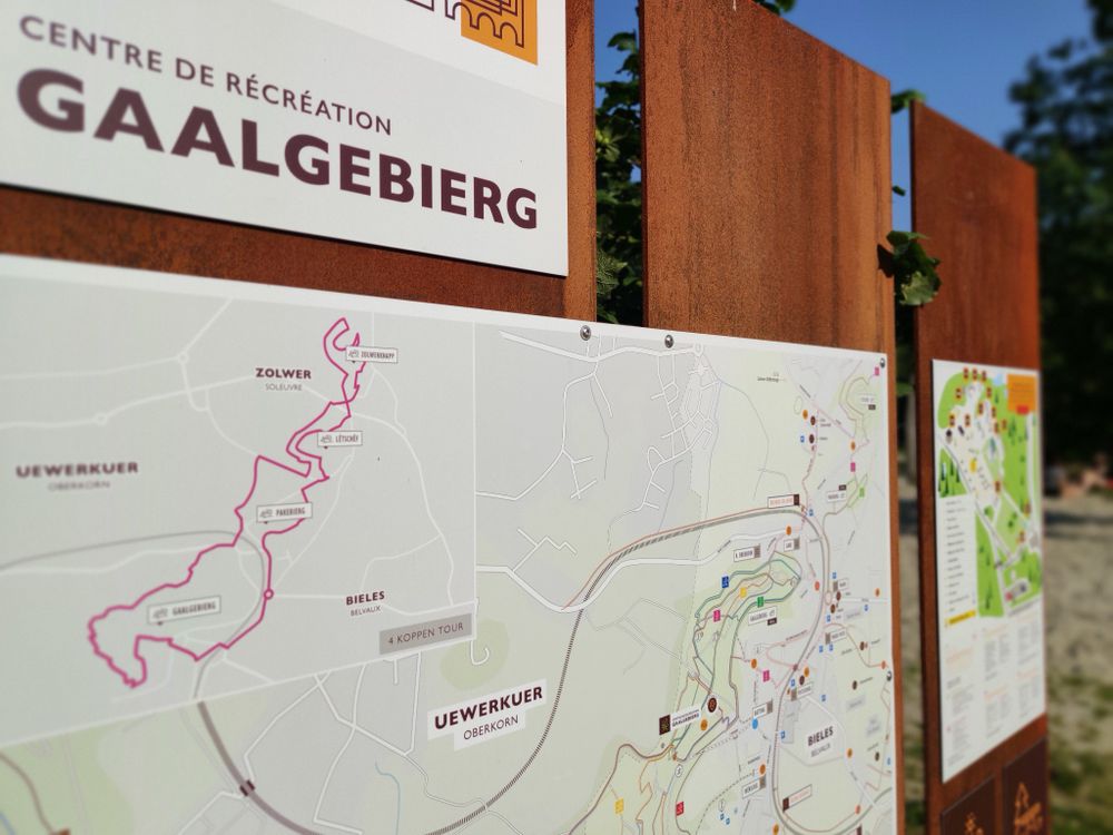
Auto-pédestre trail Belvaux

Hunting Season 2024/25 — Check for hunts before hiking

Autumn is here, and that means hunting season has begun! From mid-October to January/February, hunters are active across the country. Stay safe by checking hunt dates in your area on our Map. 

Click on Map in the Header > Services > More > Hunting.

Starting point
Parking, 7 rue de Soleuvre 4487 Belvaux
Destination
Parking, 7 rue de Soleuvre 4487 Belvaux
Distance
9,44 km
Duration
2:50 h
Difficulty
medium
  • Condition
Highest point
415 Hm
Lowest point
319 Hm
Aggregated Ascent
272 Hm
Aggregated Descent
269 Hm
Circular routes Visit Luxembourg

Description

Refreshment stops available
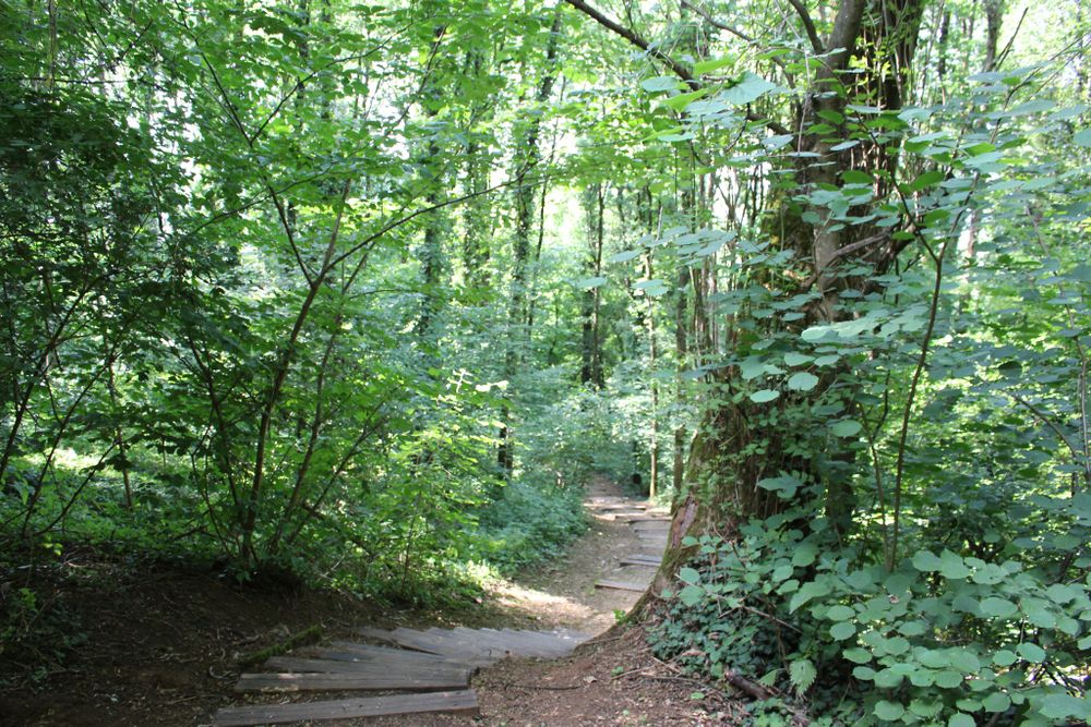
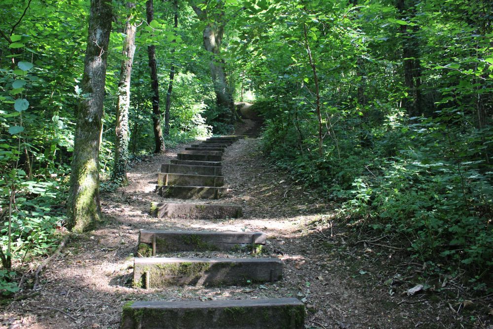
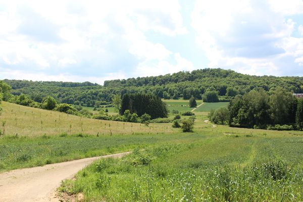
This Auto-Pédedstre walking tour offers various views.

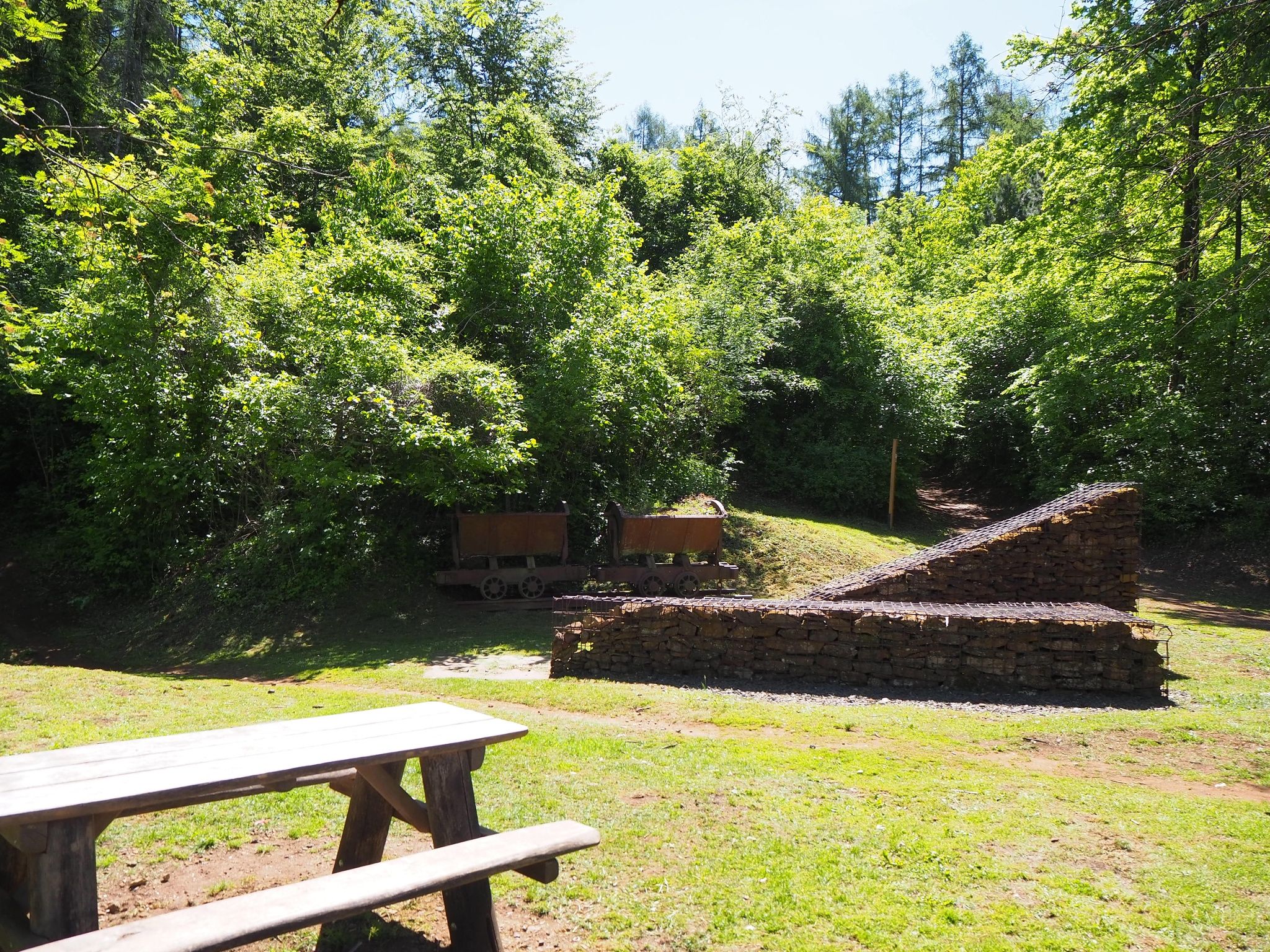
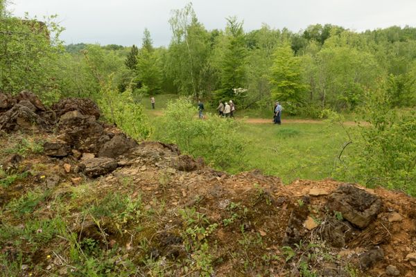
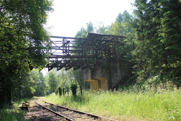
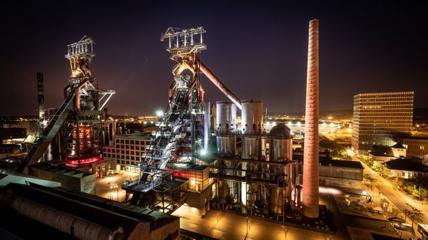
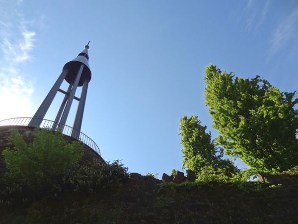
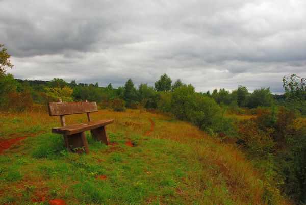
At first, the trail offers an impressive view over Belval and its blast furnaces. The idyll of the village alternates with locations in the forests steeped in history, such as the castle at the Zolwerknapp. Towards the end, you will find a picnic spot where you can also explore loaded trolleys ('Buggiën').


Please make sure to enable your Cookies in case you don't see this content.

Suggestions nearby

Auto-pédestre trail Belvaux

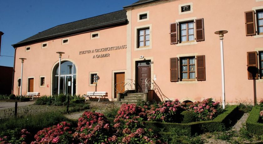
  • © A Gadder
    House of culture and history A Gadder
    The museum area comprises a total of nine rooms, in which exhibits provide insights into living and working conditions at the end of the 19th century, industrial past of the region and the history of the commune during the Second World War.
    Find out more
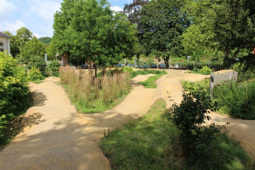
  • Pumptrack Sanem
    Two wheels on tough terrain!
    Find out more
  • © Artikus Soleuvre
    Artikuss
    Artikuss
    Find out more
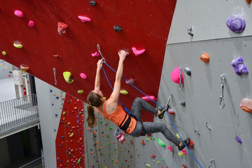
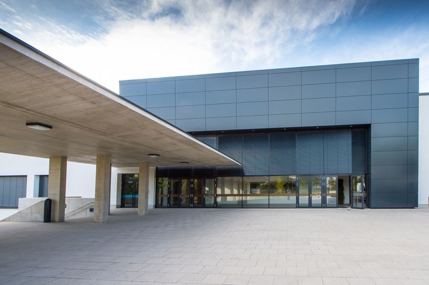
  • © RedRock Climbing Center
    RedRock Climbing Center
    High up at over 15 meters of elevation
    Find out more
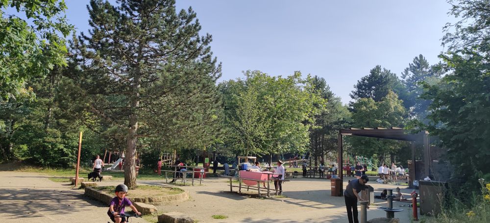
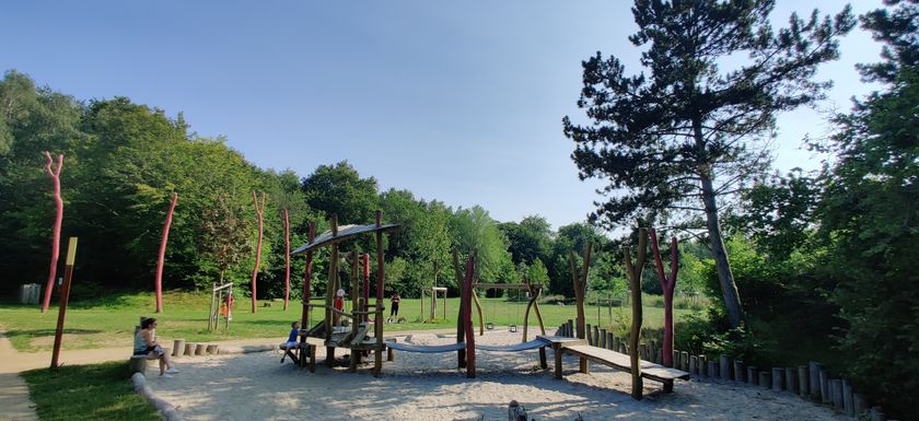
  • Playground Belvaux Gaalgebierg
    Playground Belvaux Gaalgebierg
    Find out more

Similar hiking tours

© Gemeng Suessem
Naturléierpad Zolwerknapp
Distance: 1,01 km
Duration: 0:20 h
Difficulty: medium
Find out more
© Pulsa Pictures, ORT SUD
Thematic paths
Didactic trail "Natura 2000" - Ellergronn
Distance: 11,93 km
Duration: 3:20 h
Difficulty: medium
Find out more
© Visit Luxembourg
Circular routes
Circular trail "Sentier de la Crosnière"
Distance: 3,74 km
Duration: 1:05 h
Difficulty: medium
Find out more
© © Claude Piscitelli / ONT, Visit Luxembourg
Thematic paths
Geological Trail - "Giele Botter"
Distance: 2,43 km
Duration: 0:45 h
Difficulty: medium
Find out more
© ORT Sud
Circular routes
Auto-pédestre trail Abweiler
Distance: 8,85 km
Duration: 2:20 h
Difficulty: medium
Find out more
© ORT Sud
Circular routes
Auto-pédestre trail Rodange
Distance: 7,31 km
Duration: 2:10 h
Difficulty: medium
Find out more
© ORT Sud
Circular routes
Auto-pédestre trail Rumelange - Walert
Distance: 8,89 km
Duration: 2:25 h
Difficulty: medium
Find out more
© Pulsa Pictures, ORT Sud
Circular routes
Auto-pédestre trail Rumelange - Gare
Distance: 6,84 km
Duration: 2:05 h
Difficulty: medium
Find out more
© Pulsa Pictures, ORT SUD
Circular routes
Discovery trail "Prënzebierg - Giele Botter"
Distance: 7,65 km
Duration: 2:15 h
Difficulty: medium
Find out more