© CFL, Visit Luxembourg
Minett Germany France
Guttland Germany France

34 Station to station Pétange - Kleinbettingen

Starting point
Pétange train station, Avenue de la Gare, 4773 Pétange
Destination
Kleinbettingen train station, Rue de la Gare, 8380 Steinfort
Distance
16,23 km
Duration
4:10 h
Difficulty
medium
  • Condition
Highest point
349 Hm
Lowest point
270 Hm
Aggregated Ascent
134 Hm
Aggregated Descent
112 Hm
Distance trails Visit Luxembourg

Description

Hike between two train stations, from Pétange to Kleinbettingen

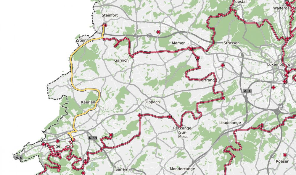
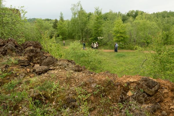
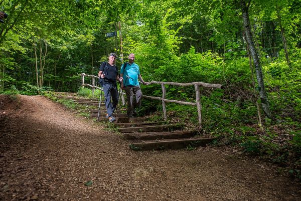
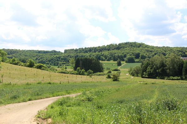
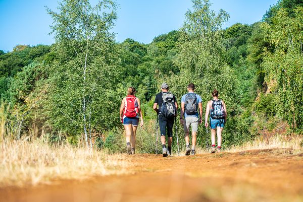
The tour starts with a section right through Pétange. Leaving the town, it follows the river course of the Chiers until reaching the national cycling route PC12 Piste cyclable de l'Attert. Some distance further down the road, it leaves Clemency on its left and follows the Belgian border line. Over fields, ramblers walk alongside forest edges, finally reaching the entrance of Kleinbettingen, on the road to Kahler. This is where hikers leave the cycling route, pass under the motorway and arrive at Kleinbettingen station.

Except for a short distance alongside the river Chiers at Pétange that can easily be bypassed, this trail is also accessible with prams, bicycles or similar vehicles.


© Editions Guy Binsfeld
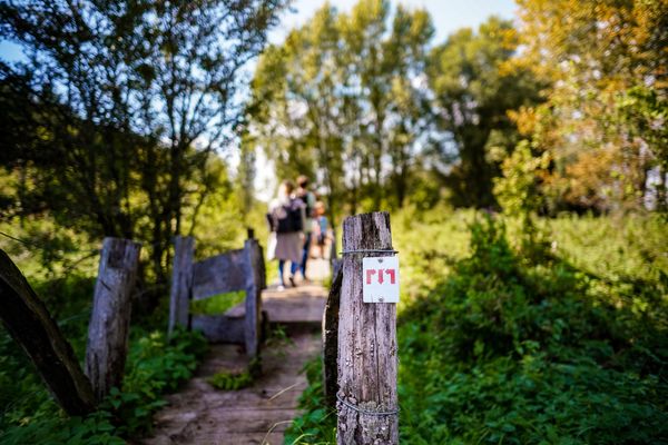
Please make sure to enable your Cookies in case you don't see this content.

Suggestions nearby

34 Station to station Pétange - Kleinbettingen

  • © Château de Clemency
    Castle of Clemency - Espace "Les Années 20"
    Garden / ParkWifiSituated in the centre of town
  • © Château de Clemency
    Castle of Clemency - Espace "Sherlock"
    WifiSituated in the centre of town
  • © Château de Clemency
    Castle of Clemency - Espace "Tribute"
    Garden / ParkWifiSituated in the centre of town
  • © Skatepark Pétange
    Skatepark Pétange
    Skatepark Pétange
    Find out more

  • No image available
    Tourist Info Pétange
    Tourist Info Pétange
    Find out more

Similar hiking tours

© Pulsa Pictures, ORT SUD
Thematic paths
Didactic trail "Natura 2000" - Ellergronn
Distance: 11,93 km
Duration: 3:20 h
Difficulty: medium
Find out more
© Pulsa Pictures, ORT SUD
Minett Trail
Minett Trail: Differdange Gare - Belval-Rédange Gare
Distance: 8,15 km
Duration: 2:20 h
Difficulty: medium
Find out more
© Claude Piscitelli, Claude Piscitelli
Minett Trail
Minett Trail: Belval-Rédange Gare - Esch-sur-Alzette Gare
Distance: 6,33 km
Duration: 1:35 h
Difficulty: medium
Find out more
© Pulsa Pictures, ORT SUD
Minett Trail
Minett Trail: Esch-sur-Alzette Gare - Tétange Gare
Distance: 11,95 km
Duration: 3:25 h
Difficulty: medium
Find out more
© Pulsa Pictures, Pulsa Pictures_ORT Sud
Minett Trail
Minett Trail: Tétange Gare - Rumelange Gare
Distance: 7,79 km
Duration: 2:15 h
Difficulty: medium
Find out more
© Pulsa Pictures, ORT SUD
Minett Trail
Minett Trail: Esch-sur-Alzette Gare - Schifflange Gare
Distance: 8,92 km
Duration: 2:35 h
Difficulty: medium
Find out more
© ORT Sud
Circular routes
Auto-pédestre trail Differdange-Lasauvage
Distance: 10,99 km
Duration: 3:05 h
Difficulty: medium
Find out more
© ORT Sud
Circular routes
Auto-pédestre trail Mondercange
Distance: 7,54 km
Duration: 1:50 h
Difficulty: medium
Find out more
© ORT Sud
Circular routes
Auto-pédestre trail Schifflange
Distance: 7,66 km
Duration: 2:15 h
Difficulty: medium
Find out more