Distance trails Visit Luxembourg
Description
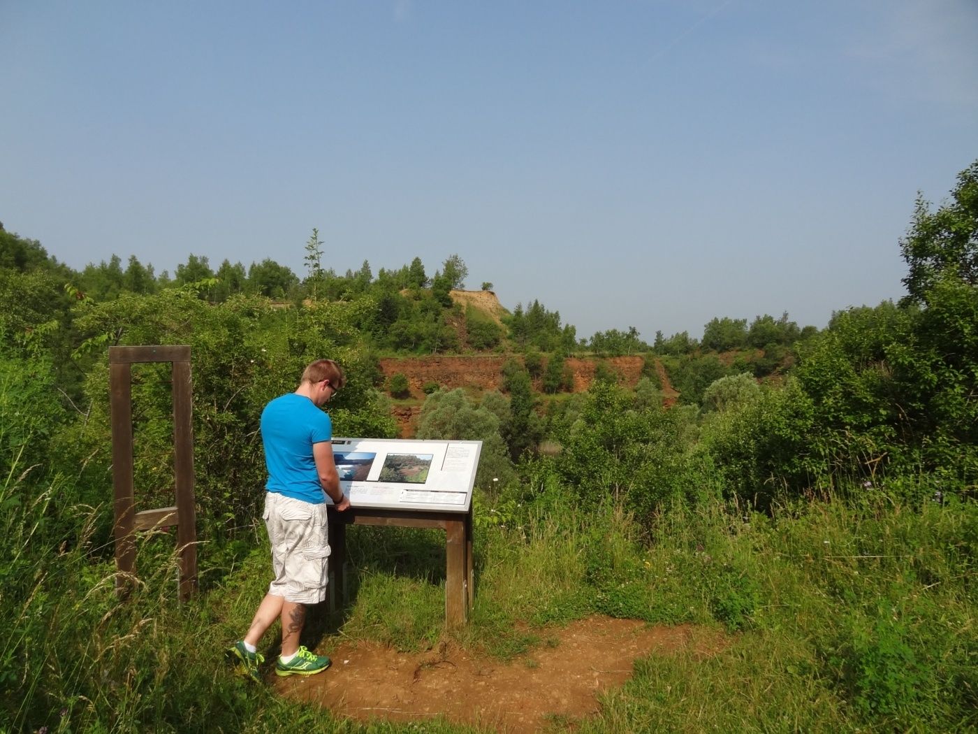
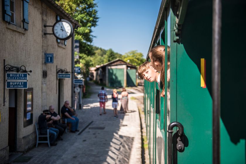
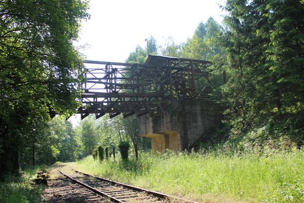
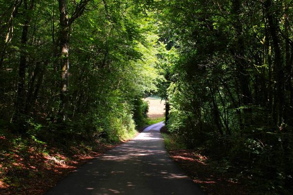
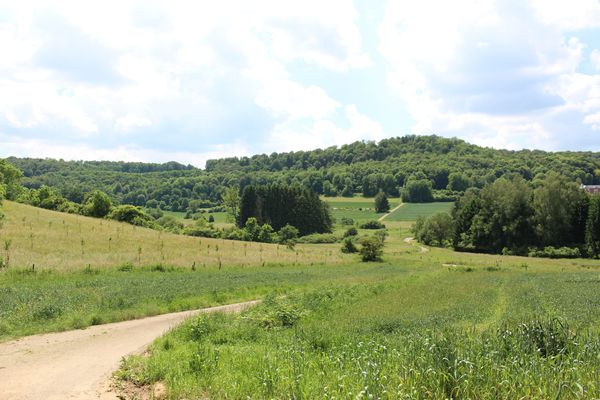
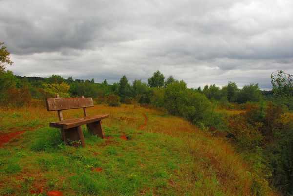
Hike through a nature reserve, from train station to station between Niederkorn and Rodange
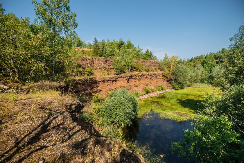
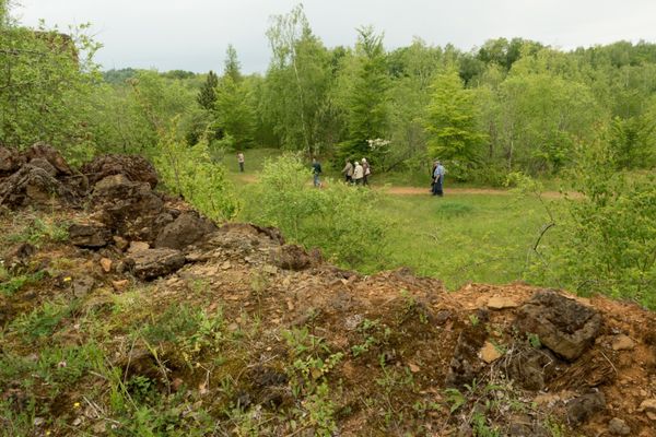
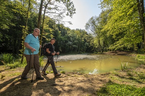
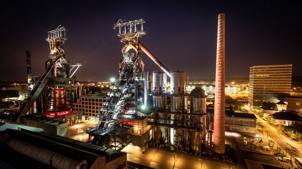
The trail starts with a climb to the heights situated to the west of Differdange. The tour uses part of the Sentier des Mineurs, a national rambling route winding its way through ancient iron ore quarries, such as the nature reserve Giele Botter with its special biotopes. The site itself is part of the Prënzebierg nature reserve to which this ramble also leads. After passing a residential area belonging to Lamadelaine, the trip ends at Rodange station.
© Editions Guy Binsfeld
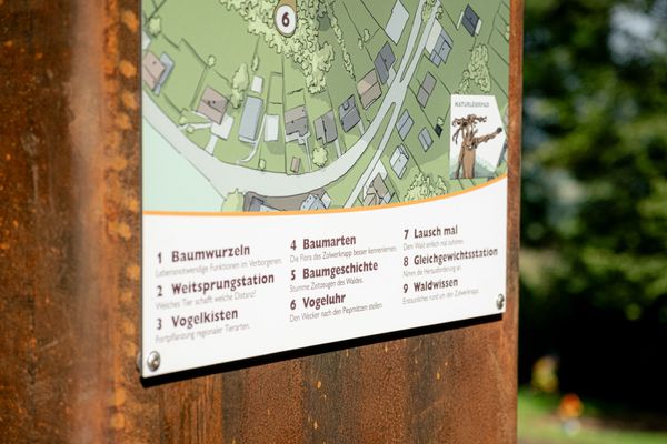
Signposting
Directions
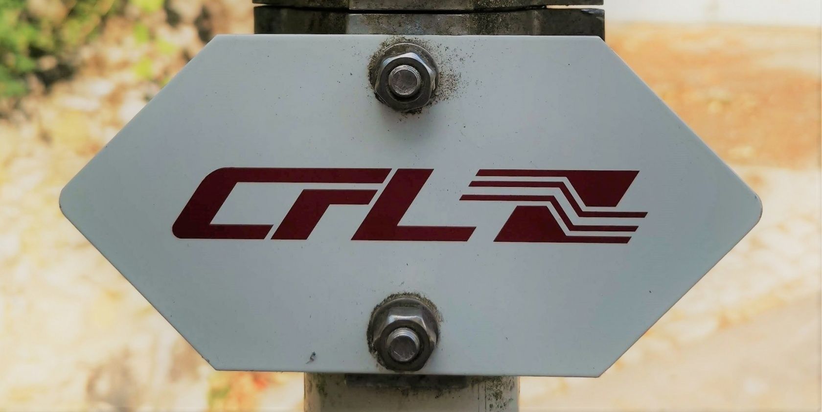
Please follow the signposts with the "CFL" branding
For your safety
Please pay attention to the safety instructions in the nature reserve and stay on the designated paths.
Equipment
Please remember to wear sturdy shoes and appropriate clothing in the event of bad weather.
Please bring enough food and drinking water for the trip.
Journey
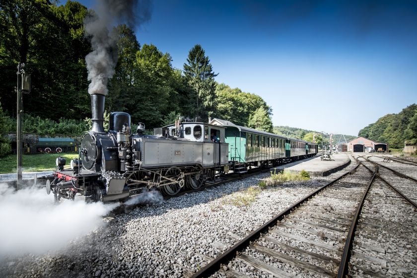
Public transport: Start and destination are both at a train station
Parking: Public parking available at the start
Parking: Public parking available at the start


 This website uses technology and content from the Outdooractive Platform.