Distance trails Visit Luxembourg
Description
Hike from train station to station, from Rumelange to Kayl
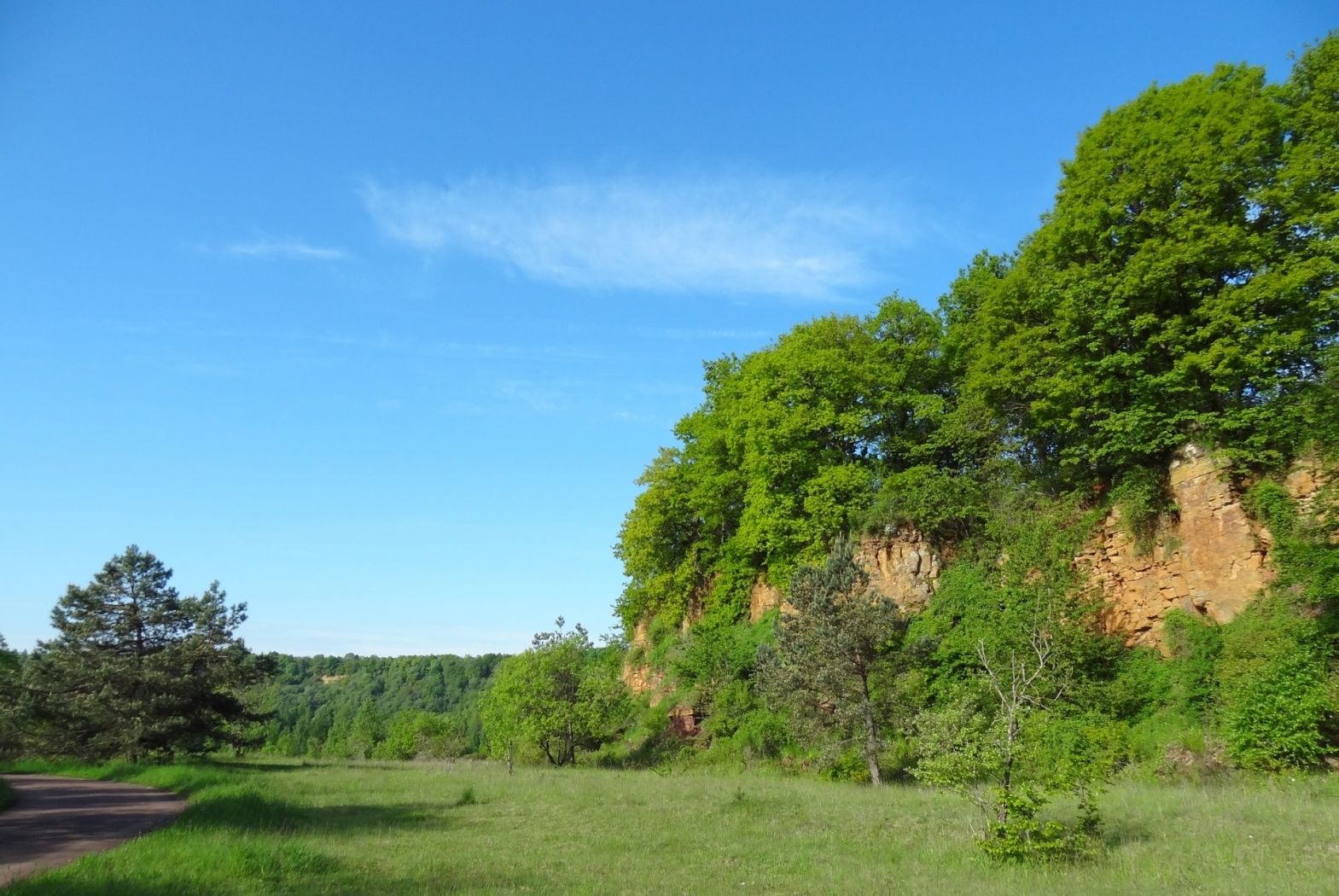
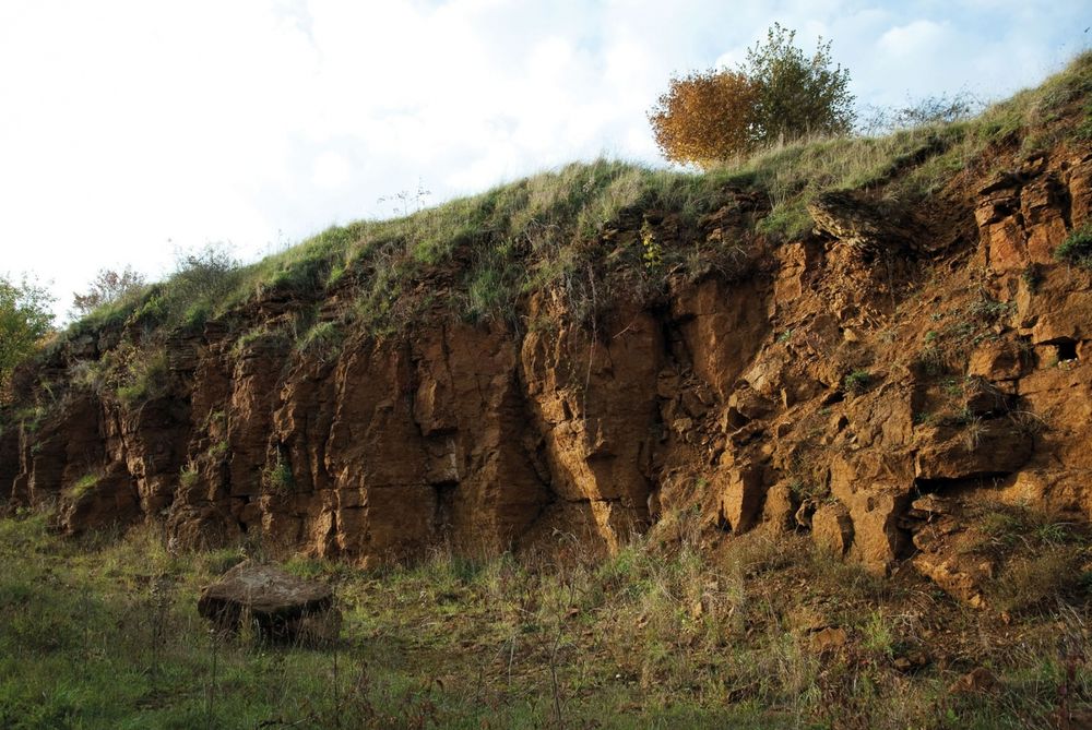
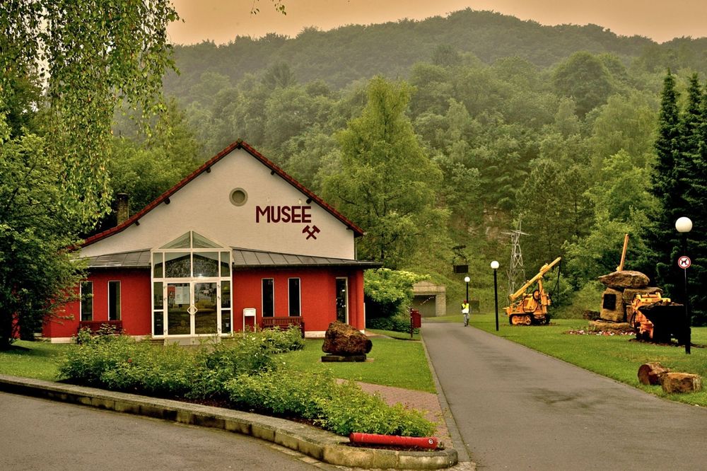
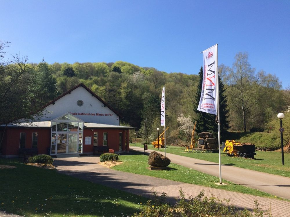
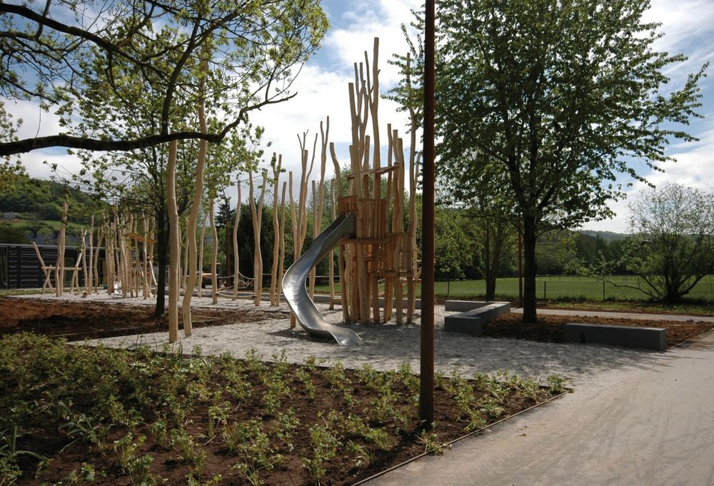
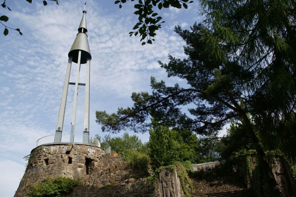
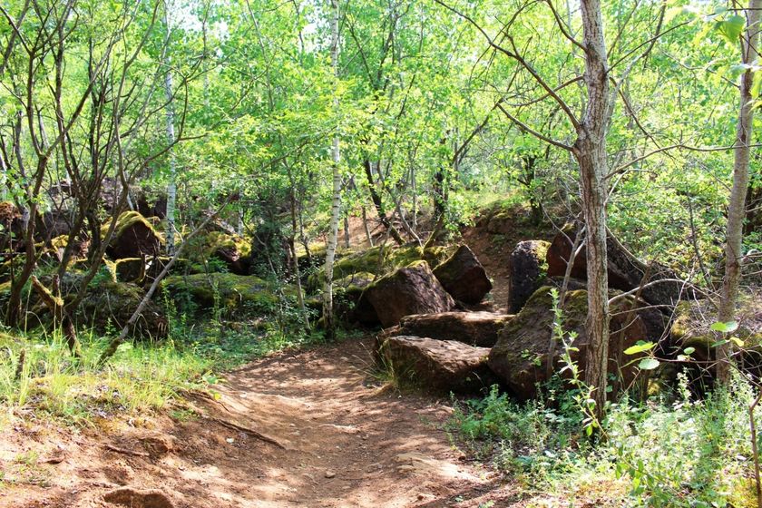
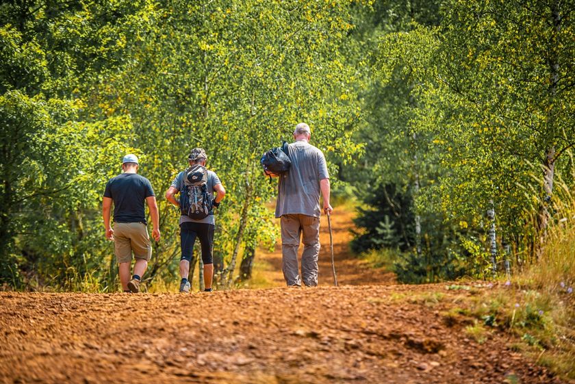
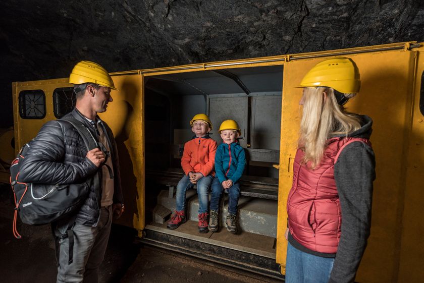
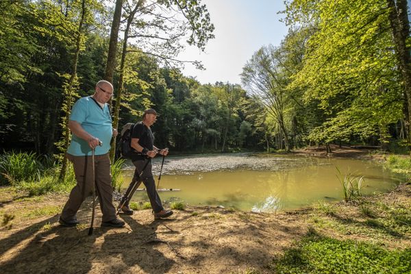
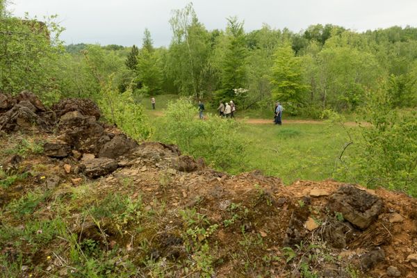
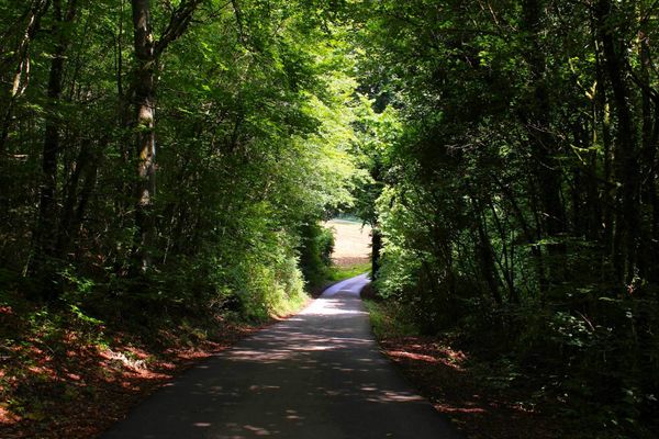
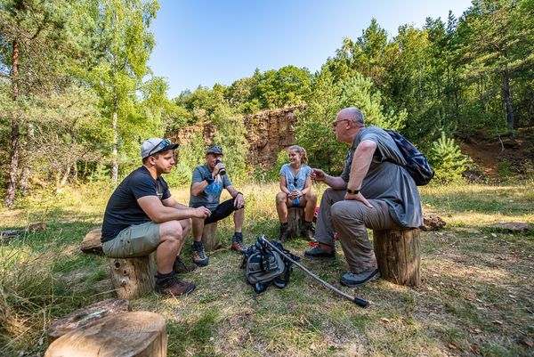
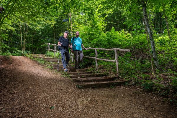
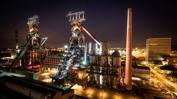
Ramblers leave Rumelange through a former mining area. Climbing steadily, the route touches the French border. It then continous in a wide loop through a big wooded section.
Passing several points of interest, it finally leads downhill to Kayl station.
Those who wish to end their walk earlier, cancut short at Bromeschbierg hill, via the 900-m-long trail CFL 23a which descends to Tétange station. This reduces the distance of the tour to 10,6 km.
N.B.: Few trains stop at Kayl, Tétange and Rumelange stations. Alternative: bus service. Please take a close look at the timetables while planning your trip.
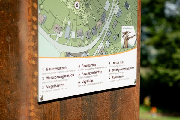
Signposting
Directions
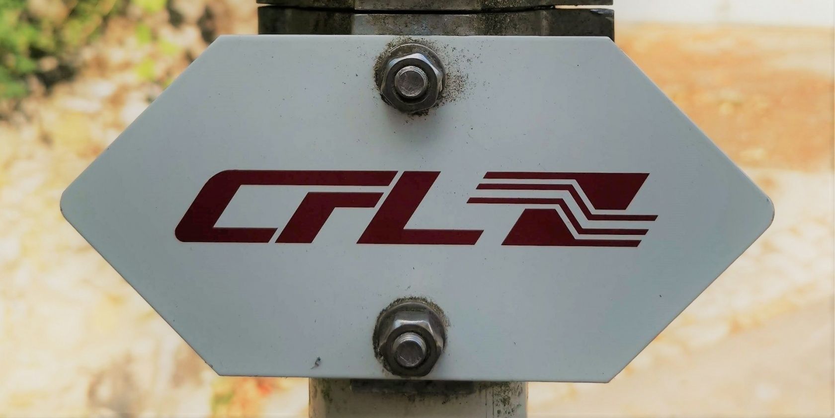
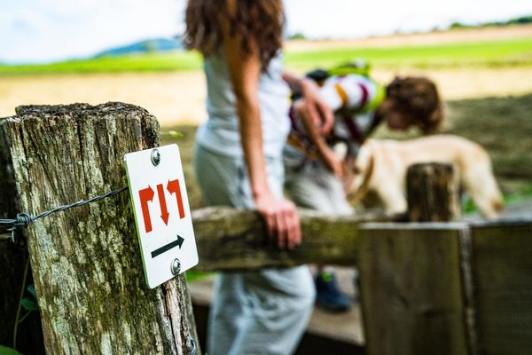
Please follow the "CFL" signposts
For your safety
Remember to pack enough food and drinking water.
Equipment
Remember to pack enough food and drinking water.
Journey
Public transport: Start and destination are both at train stations
Parking: Public parking available at both starting/ending locations
Parking: Public parking available at both starting/ending locations


 This website uses technology and content from the Outdooractive Platform.