Distance trails Visit Luxembourg
Description
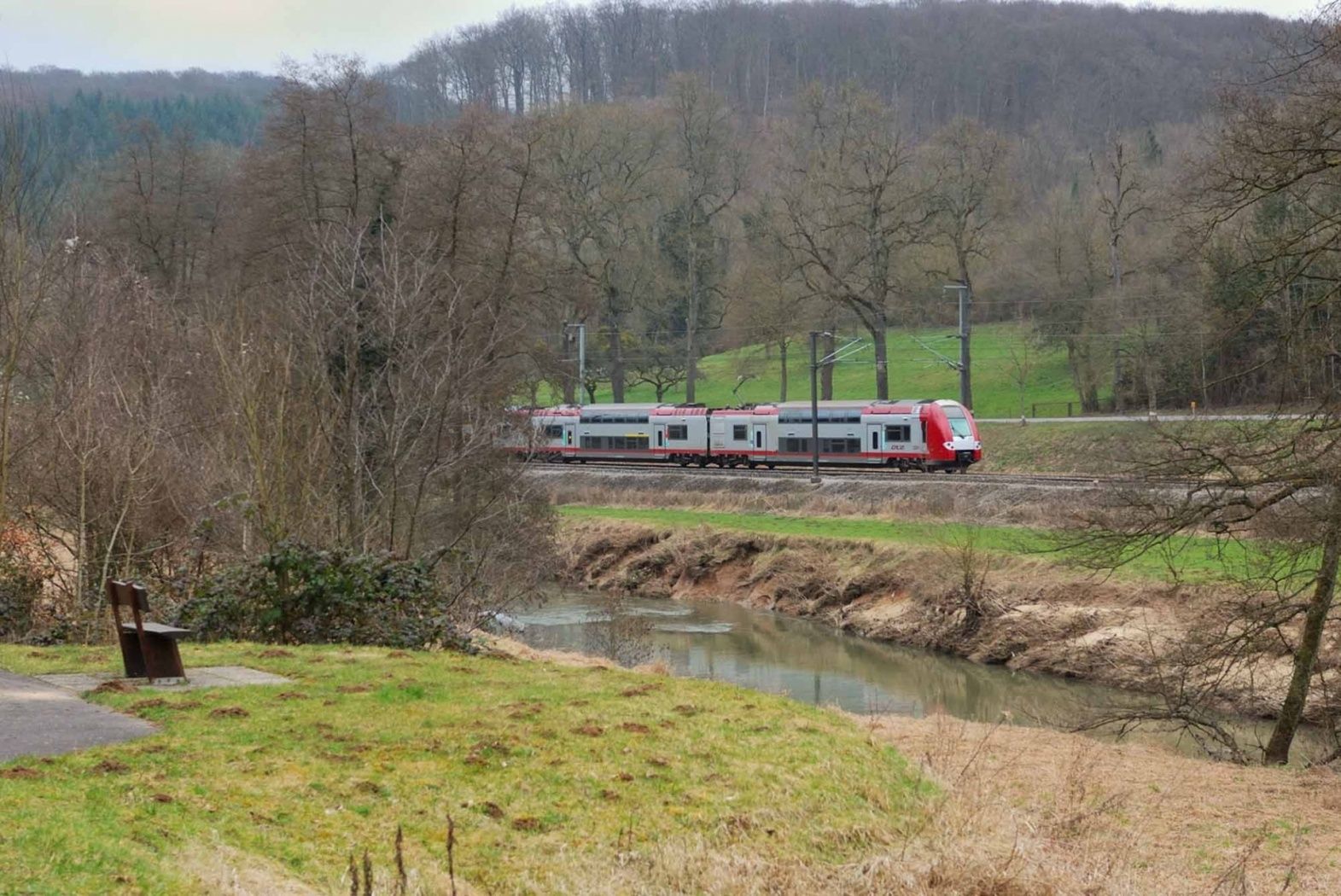
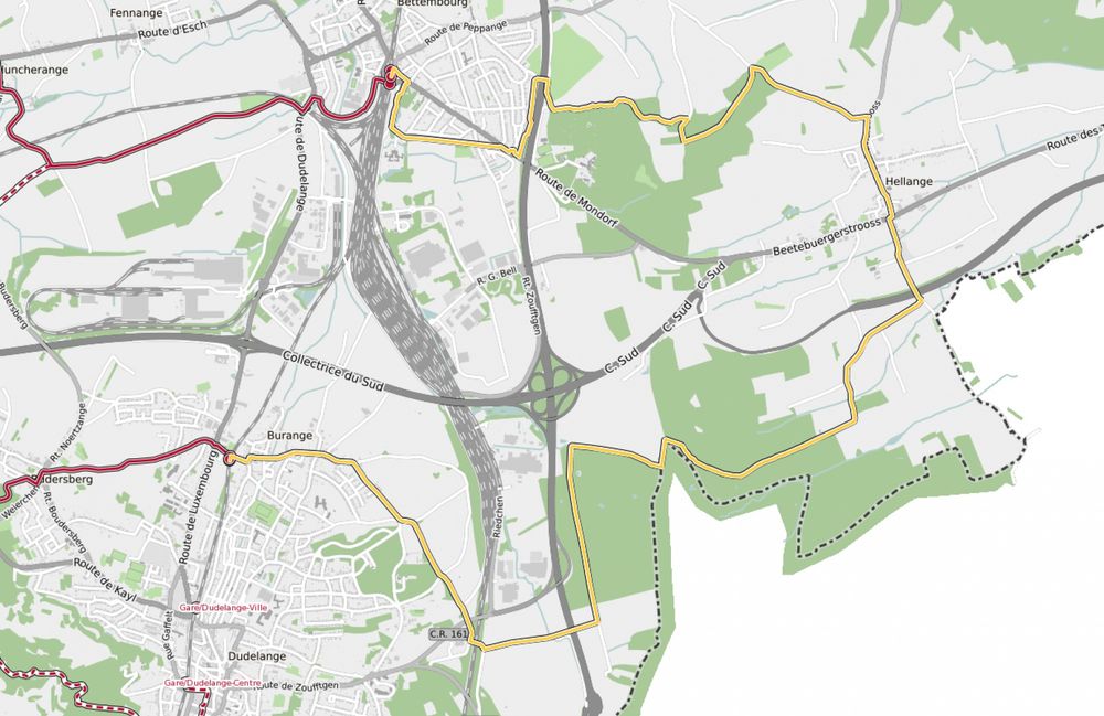
Hike between two train stations, from Bettembourg to Dudelange-Burange
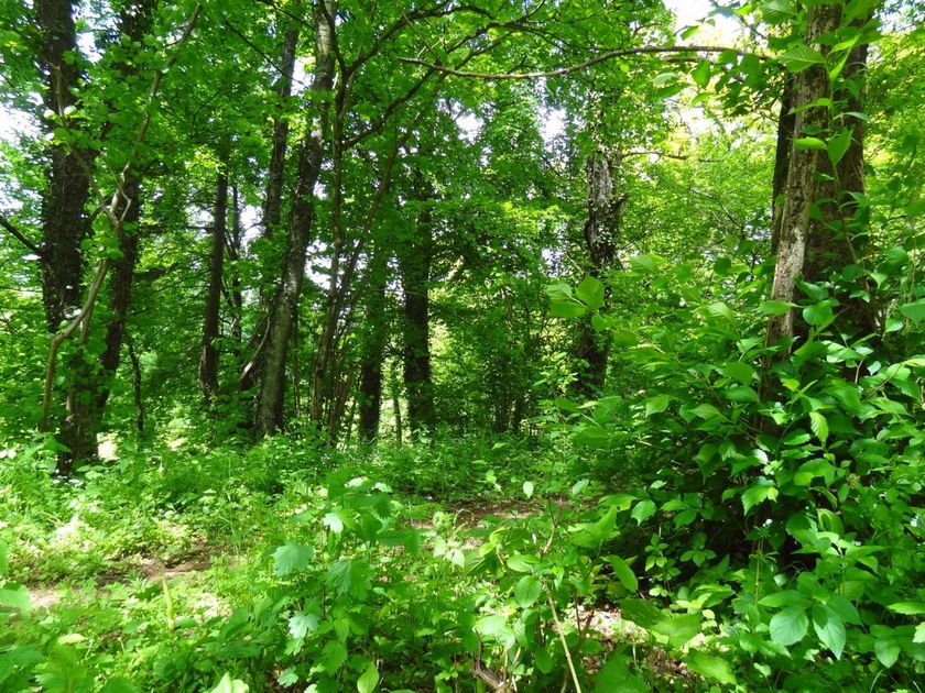
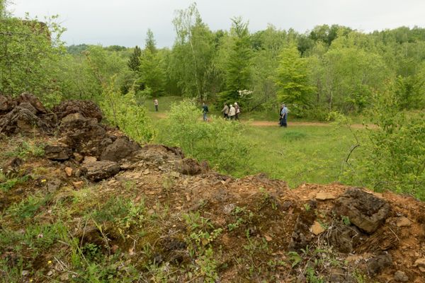
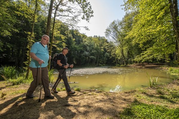
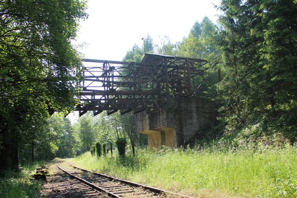
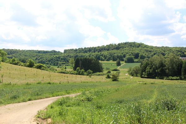
Right from the start, the route crosses the municipal park Jacquinot, following the nice Promenade du Soleil ("Sun promenade") set up on the tracks of the former regional railroad Bettembourg - Aspelt. Before reaching Hellange, the tour leads through a rural zone where the Bongert Altenhoven is located, one of the country's biggest orchards. The trail goes on via wooded area at the French border, then to Dudelange running alongsite the Parc Léi.
© CFL
Signposting
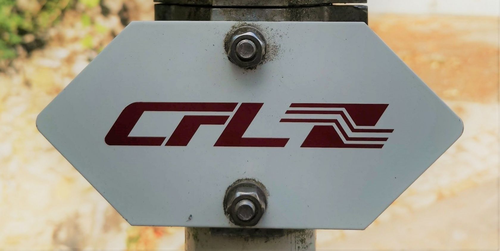
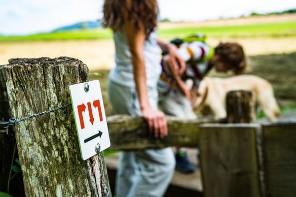
Directions
Please follow the signs saying "CFL". The way is signposted in both directions.
For your safety
Please remember to wear sturdy shoes and appropriate clothing in the event of bad weather.
Equipment
Please bring enough food and drinking water for the trip.
Journey
Public transport: Start and destination are both at a train station
Parking: Public parking available at the start
Parking: Public parking available at the start


 This website uses technology and content from the Outdooractive Platform.